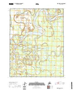
2018 Map of Fort Yukon C-2 NE
USGS Topo · Published 2018About this map
The Porcupine River dominates this interior Alaska landscape, winding through a complex network of wetlands and seasonal waterways within the Yukon-Koyukuk Census Area. This region is defined by its dynamic hydrography, where the Sheenjek River and Draanjik River intersect with the primary river channel amidst a maze of sloughs and ponds. To the southeast, the terrain begins to rise toward the East Crazy Mountains and the broader Crazy Mountains range, marking a distinct shift from the low-lying river basin to higher elevations. The intricate path of the Black River Slough illustrates the shifting nature of these arctic waterways, which have long dictated movement and subsistence patterns in this remote northern territory.
Find a feature on this map
10 named features on this map. Tap any name to fly to it.
Don’t see what you’re looking for? This feature index may not catch every label — zoom into the map to look around manually.
Map Details
Editions of this 2018 Fort Yukon C-2 NE Map
This is the sole edition of this map. No revisions or reprints were ever made.
Other maps of this area

1951 · Fort Yukon
USGS Topo · 1:250,000

1952 · Fort Yukon C-2
USGS Topo · 1:63,360

1955 · Fort Yukon D-2
USGS Topo · 1:63,360

1956 · Fort Yukon C-1
USGS Topo · 1:63,360
1956 · Fort Yukon D-1
USGS Topo · 1:63,360

1956 · Fort Yukon
USGS Topo · 1:250,000
1956 · Fort Yukon C-2
USGS Topo · 1:63,360
2018 · Fort Yukon C-2 SW
USGS Topo · 1:25,000
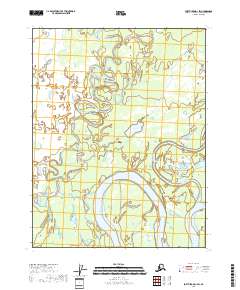
2018 · Fort Yukon D-1 SW
USGS Topo · 1:25,000
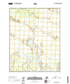
2018 · Fort Yukon D-2 SW
USGS Topo · 1:25,000