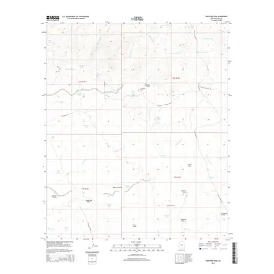
2014 Map of Fortified Peak
USGS Topo · Published 2014About this map
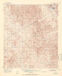
Fortified Peak stands as the central landmark of this arid basin in Pinal County, surrounded by a complex system of seasonal drainages and cattle-ranching infrastructure. The landscape is defined by its deep connectivity to water management, visible through numerous named tanks such as McCarty Tank, Jones Tank, and Patterson Tank, which supported the livestock of the Falcon Valley Ranch Rd area. The topographic relief is marked by significant natural barriers like Falcon Divide and Wild Cow Ravine, which carve through the desert floor.
Find a feature on this map
45 named features on this map. Tap any name to fly to it.
Don’t see what you’re looking for? This feature index may not catch every label — zoom into the map to look around manually.
Map Details
Editions of this 2014 Fortified Peak Map
This is the sole edition of this map. No revisions or reprints were ever made.
Other maps of this area

1911 · Winkelman
USGS Topo · 1:125,000

1913 · Winkelman
USGS Topo · 1:125,000

1934 · Newman Peak
USGS Topo · 1:125,000

1949 · Winkelman
USGS Topo · 1:62,500

1949 · Black Mountain
USGS Topo · 1:24,000
1949 · Putnam Wash
USGS Topo · 1:24,000
1950 · Putnam Wash
USGS Topo · 1:24,000
1950 · Black Mountain
USGS Topo · 1:24,000
1951 · Winkelman
USGS Topo · 1:62,500

1956 · Tucson
USGS Topo · 1:250,000