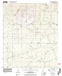
1996 Map of Fortified Peak
USGS Topo · Published 2003About this map
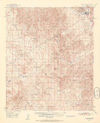
Fortified Peak rises as the central landmark of this Pinal County landscape, which transitions between dry washes and high divides in the 1990s. The northern reaches show signs of mineral interest near Bloodsucker Wash, where the Ardmore Mine is surrounded by adits, prospects, and a mine shaft. This industrial footprint contrasts with the ranching infrastructure found throughout the quadrangle, evidenced by a vast network of water catchments like Tipperary Tank, Big Bertha Tank, and Wild Cow Tank. The reliance on these tanks and wells, such as Browns Well, speaks to the arid character of the Falcon Divide Valley. Isolated habitations like The Big House and Rock House provide rare fixed points of settlement, while a landing strip near the eastern margin suggests the necessity of aerial access in this desert terrain.
Find a feature on this map
47 named features on this map. Tap any name to fly to it.
Don’t see what you’re looking for? This feature index may not catch every label — zoom into the map to look around manually.
Map Details
Editions of this 1996 Fortified Peak Map
This is the sole edition of this map. No revisions or reprints were ever made.
Other maps of this area

1911 · Winkelman
USGS Topo · 1:125,000

1913 · Winkelman
USGS Topo · 1:125,000

1934 · Newman Peak
USGS Topo · 1:125,000

1949 · Winkelman
USGS Topo · 1:62,500

1949 · Black Mountain
USGS Topo · 1:24,000
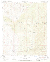
1949 · Putnam Wash
USGS Topo · 1:24,000
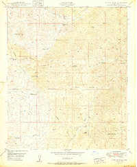
1950 · Putnam Wash
USGS Topo · 1:24,000
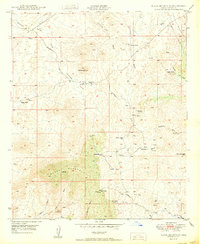
1950 · Black Mountain
USGS Topo · 1:24,000
1951 · Winkelman
USGS Topo · 1:62,500

1956 · Tucson
USGS Topo · 1:250,000