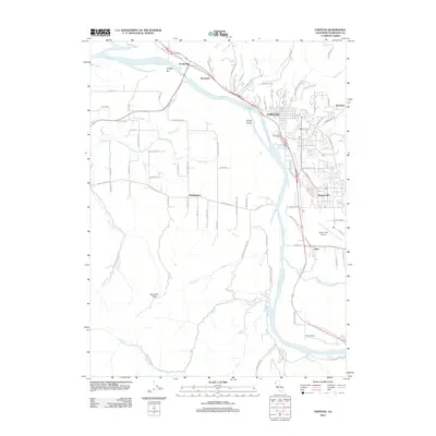
2012 Map of Fortuna
USGS Topo · Published 2012About this map
The Eel River defines the landscape of this Humboldt County quadrangle, flowing northwest past a series of established riverbank communities. The city of Fortuna serves as the central hub, supported by smaller outlying settlements like Rohnerville, Newburg, and Alton. To the south, the confluence with the Van Duzen River marks the transition toward Metropolitan. The map highlights the region's historical reliance on river-valley transport, with Grizzly Bluff Rd and the Northwestern Pacific RR corridor flanking the water.
Find a feature on this map
97 named features on this map. Tap any name to fly to it.
Don’t see what you’re looking for? This feature index may not catch every label — zoom into the map to look around manually.
Map Details
Editions of this 2012 Fortuna Map
This is the sole edition of this map. No revisions or reprints were ever made.
Other maps of this area

1916 · Cape Fortunas
USGS Topo · 1:62,500

1919 · Glynn
USGS Topo · 1:62,500

1921 · Cape Mendocino
USGS Topo · 1:62,500

1943 · Ferndale
USGS Topo · 1:62,500

1944 · Fortuna
USGS Topo · 1:62,500

1949 · Eureka
USGS Topo · 1:250,000

1950 · Cape Mendocino
USGS Topo · 1:62,500

1950 · Scotia
USGS Topo · 1:62,500

1951 · Scotia
USGS Topo · 1:62,500

1951 · Cape Mendocino
USGS Topo · 1:62,500