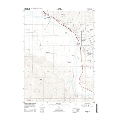
2015 Map of Fortuna
USGS Topo · Published 2015About this map
The Eel River and its major tributaries shape the landscape of this Humboldt County coastal valley, where the settlement of Fortuna serves as a primary hub. The terrain transitions from the low-lying Sandy Prairie to the elevation of Buzzards Peak, illustrating the geographical diversity of the region. Distinct residential and agricultural patterns are evident in communities like Rohnerville, Waddington, and Fernbridge, while local landmarks such as Diamond Ranch and the Rohnerville Airport anchor the rural landscape.
Find a feature on this map
44 named features on this map. Tap any name to fly to it.
Don’t see what you’re looking for? This feature index may not catch every label — zoom into the map to look around manually.
Map Details
Editions of this 2015 Fortuna Map
This is the sole edition of this map. No revisions or reprints were ever made.
Other maps of this area

1916 · Cape Fortunas
USGS Topo · 1:62,500

1919 · Glynn
USGS Topo · 1:62,500

1921 · Cape Mendocino
USGS Topo · 1:62,500

1943 · Ferndale
USGS Topo · 1:62,500

1944 · Fortuna
USGS Topo · 1:62,500

1949 · Eureka
USGS Topo · 1:250,000

1950 · Cape Mendocino
USGS Topo · 1:62,500

1950 · Scotia
USGS Topo · 1:62,500

1951 · Scotia
USGS Topo · 1:62,500

1951 · Cape Mendocino
USGS Topo · 1:62,500