Loading...
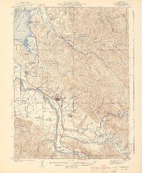
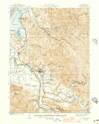
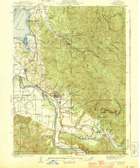
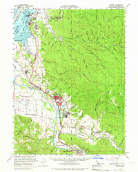
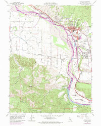
Loading map...1944 Map of Fortuna
USGS Topo · Published 1944About this map
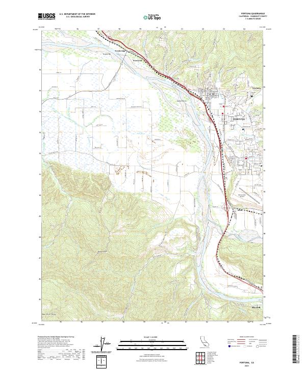
The Eel River and its broad floodplains anchor this mid-century portrait of Humboldt County, where timber and agriculture shaped the landscape. Industrial infrastructure is prominent throughout, notably the Lumber RR and the Northwestern Pacific railroad lines that connected the logging camps and mill towns like Fortuna and Scotia. The map captures a dense network of early rural education, marking numerous small schools such as Coffee Creek Sch, Grant Union Sch, and McDiarmid Sch that served the outlying farming families.
Find a feature on this map
76 named features on this map. Tap any name to fly to it.
Don’t see what you’re looking for? This feature index may not catch every label — zoom into the map to look around manually.
Map Details
Date Portrayed1944
Date Published1944
PublisherU.S. Geological Survey
Map TypeTopographic
Scale1:62,500
Physical Dimensions16.41 x 19.96 inches
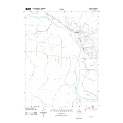
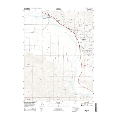
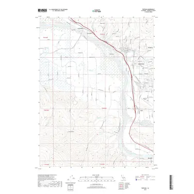
Editions of this 1944 Fortuna Map
3 editions found
Historical Maps of Eureka Through Time
7 maps found
Featured Locations
Source Details
SourceU.S. Geological Survey
CopyrightPublic Domain