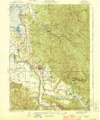
1944 Map of Fortuna
USGS Topo · Published 1944About this map
The Eel River and Van Duzen River define the agricultural and industrial landscape of this Humboldt County region during the early 1940s. The hub of Fortuna sits at the center of a transit network, where the Redwood Highway and the Northwestern Pacific RR facilitate the movement of local timber and goods. To the north, the map details the intricate tidal flats of Humboldt Bay, featuring coastal settlements like Fields Landing and Beatrice.
Find a feature on this map
93 named features on this map. Tap any name to fly to it.
Don’t see what you’re looking for? This feature index may not catch every label — zoom into the map to look around manually.
Map Details
Editions of this 1944 Fortuna Map
3 editions found

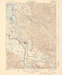
Other maps of this area

1916 · Cape Fortunas
USGS Topo · 1:62,500

1919 · Glynn
USGS Topo · 1:62,500

1921 · Dyerville
USGS Topo · 1:62,500

1921 · Cape Mendocino
USGS Topo · 1:62,500

1922 · Eureka
USGS Topo · 1:62,500

1922 · Korbel
USGS Topo · 1:62,500

1922 · Kneeland
USGS Topo · 1:62,500

1933 · Eureka
USGS Topo · 1:48,000

1942 · Eureka
USGS Topo · 1:62,500

1943 · Ferndale
USGS Topo · 1:62,500