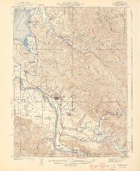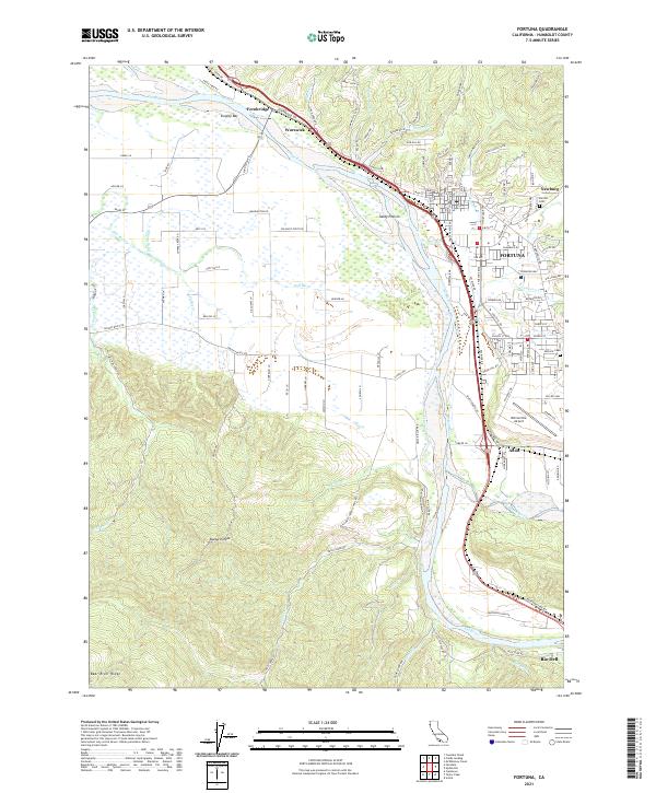
1959 Map of Fortuna
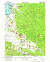
USGS Topo · Published 1969About this map
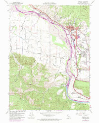
The Eel River and its broad floodplains dominate this late-1950s landscape, where the Northwestern Pacific railroad and the Redwood Highway serve as the primary transport arteries through Fortuna. To the west, the flat expanse of Sandy Prairie and the meandering Salt River define a fertile valley dotted with rural schoolhouses like Grant Union Sch and Coffee Creek Sch. This era captures the community in transition, balancing its agricultural roots with mid-century development, evidenced by the Rohnerville Airport and a Drive-in Theater situated between the river and the hills.
Find a feature on this map
52 named features on this map. Tap any name to fly to it.
Don’t see what you’re looking for? This feature index may not catch every label — zoom into the map to look around manually.
Map Details
Editions of this 1959 Fortuna Map
3 editions found
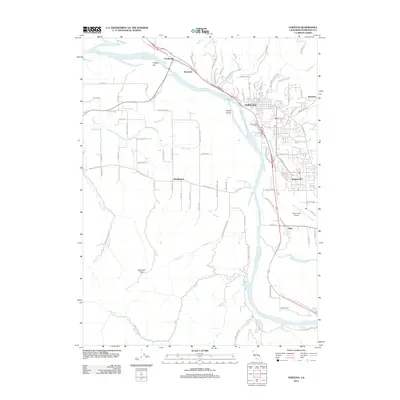
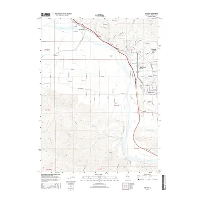
Historical Maps of Fortuna Through Time
7 maps found