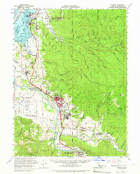
1959 Map of Fortuna
USGS Topo · Published 1966About this map
Fortuna and its surrounding river valley communities define this mid-century portrait of coastal Humboldt County. The landscape is shaped by the wide course of the Eel River, which flows past settlements like Rohnerville, Alton, and Loleta. The transportation network is anchored by the Northwestern Pacific Railroad, which connects the timber and agricultural hubs of the interior to Fields Landing on the southern reaches of Humboldt Bay.
Find a feature on this map
102 named features on this map. Tap any name to fly to it.
Don’t see what you’re looking for? This feature index may not catch every label — zoom into the map to look around manually.
Map Details
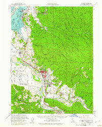
Editions of this 1959 Fortuna Map
2 editions found
Other maps of this area

1916 · Cape Fortunas
USGS Topo · 1:62,500

1919 · Glynn
USGS Topo · 1:62,500

1921 · Dyerville
USGS Topo · 1:62,500

1921 · Cape Mendocino
USGS Topo · 1:62,500

1922 · Eureka
USGS Topo · 1:62,500

1922 · Korbel
USGS Topo · 1:62,500

1922 · Kneeland
USGS Topo · 1:62,500

1933 · Eureka
USGS Topo · 1:48,000

1942 · Eureka
USGS Topo · 1:62,500

1943 · Ferndale
USGS Topo · 1:62,500