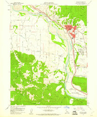
1959 Map of Fortuna
USGS Topo · Published 1961About this map
The Eel River and Van Duzen River define the valley floor where the city of Fortuna served as a regional hub for the Eel River Valley in the late 1950s. The map captures the town during a period of infrastructure expansion, showing the Redwood Highway and the Northwestern Pacific railroad corridor alongside civic landmarks like the Union High School and Veterans Memorial. To the south, the settlement of Metropolitan and the St Pius X Seminary sit near the river junction, while the higher elevations of Buzzards Peak and Barber offer a glimpse of the forested timberlands that historically fueled the local economy.
Find a feature on this map
58 named features on this map. Tap any name to fly to it.
Don’t see what you’re looking for? This feature index may not catch every label — zoom into the map to look around manually.
Map Details
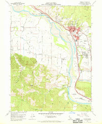
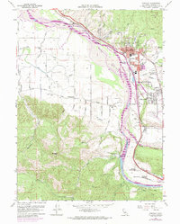
Editions of this 1959 Fortuna Map
3 editions found
Other maps of this area

1916 · Cape Fortunas
USGS Topo · 1:62,500

1919 · Glynn
USGS Topo · 1:62,500

1921 · Cape Mendocino
USGS Topo · 1:62,500

1943 · Ferndale
USGS Topo · 1:62,500

1944 · Fortuna
USGS Topo · 1:62,500

1949 · Eureka
USGS Topo · 1:250,000

1950 · Cape Mendocino
USGS Topo · 1:62,500

1950 · Scotia
USGS Topo · 1:62,500

1951 · Scotia
USGS Topo · 1:62,500

1951 · Cape Mendocino
USGS Topo · 1:62,500