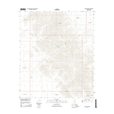
2014 Map of Fortuna Mine
USGS Topo · Published 2014About this map
Fortuna Mine is a central landmark on this topographic study of Yuma County's arid landscape. Located within the northern reaches of the Yuma Desert, the site is surrounded by dramatic relief including the Gila Mountains and distinctive peaks like Red Top Mtn. The map documents a stark environment where seasonal drainage through Fortuna Wash and the geological prominence of Vopoki Ridge define the terrain. To the northeast, the settlement of Wellton serves as a point of reference for the region's human geography. This 2014 survey records the precise intersections of mining history and desert topography, preserving the spatial relationship between the historic mine and the surrounding wilderness before shifting environmental conditions or land use changes alter these southwestern landmarks.
Find a feature on this map
15 named features on this map. Tap any name to fly to it.
Don’t see what you’re looking for? This feature index may not catch every label — zoom into the map to look around manually.
Map Details
Editions of this 2014 Fortuna Mine Map
This is the sole edition of this map. No revisions or reprints were ever made.
Other maps of this area

1926 · Fortuna
USGS Topo · 1:62,500

1926 · Wellton
USGS Topo · 1:62,500

1929 · Fortuna
USGS Topo · 1:62,500

1929 · Wellton
USGS Topo · 1:62,500

1942 · Yuma
USGS Topo · 1:250,000

1954 · El Centro
USGS Topo · 1:250,000

1955 · El Centro
USGS Topo · 1:250,000

1958 · El Centro
USGS Topo · 1:250,000

1961 · El Centro
USGS Topo · 1:250,000

1964 · El Centro
USGS Topo · 1:250,000