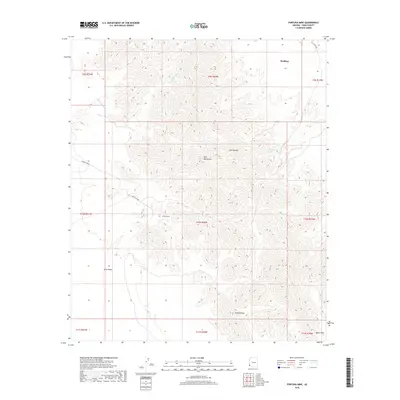
2018 Map of Fortuna Mine
USGS Topo · Published 2018About this map
Fortuna Mine serves as a focal point for this desert landscape within the southern Gila Mountains. The terrain transitions from the high peaks of Red Top Mtn and the southern Vopoki Ridge into the sweeping expanses of the Yuma Desert and Davis Plain. The historic route of the Cam Del Diablo cuts through the topography, connecting the arid washes and rugged ridgelines that characterize this corner of Yuma County. Modern drainage patterns are visible through the complex networks of the Fortuna Wash and various other dry washes. The small settlement of Wellton appears at the northern edge, marking the boundary where the mountainous mining district meets the broader desert floor. This 2018 survey provides a precise look at the isolation of these arid landmarks, including the essential water source at Dripping Spring.
Find a feature on this map
20 named features on this map. Tap any name to fly to it.
Don’t see what you’re looking for? This feature index may not catch every label — zoom into the map to look around manually.
Map Details
Editions of this 2018 Fortuna Mine Map
This is the sole edition of this map. No revisions or reprints were ever made.
Other maps of this area

1926 · Fortuna
USGS Topo · 1:62,500

1926 · Wellton
USGS Topo · 1:62,500

1929 · Fortuna
USGS Topo · 1:62,500

1929 · Wellton
USGS Topo · 1:62,500

1942 · Yuma
USGS Topo · 1:250,000

1954 · El Centro
USGS Topo · 1:250,000

1955 · El Centro
USGS Topo · 1:250,000

1958 · El Centro
USGS Topo · 1:250,000

1961 · El Centro
USGS Topo · 1:250,000

1964 · El Centro
USGS Topo · 1:250,000