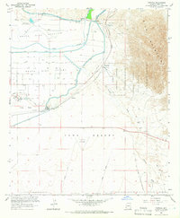
1965 Map of Fortuna
USGS Topo · Published 1966About this map
The Redondo Ruins (Butterfield Stage Sta) sit at the northern edge of the North Gila Valley, anchoring this mid-century landscape where agricultural irrigation meets expansive military ranges. The map reveals the intricate water management system that defines the region, including the Main Canal, Main Outlet Drain, and the Wellton-Mohawk Canal which siphons across the Gila River. South of the river, the Southern Pacific railroad passes through Blaisdell before skirting the edge of Yuma Mesa, where Arizona Western College is situated.
Find a feature on this map
38 named features on this map. Tap any name to fly to it.
Don’t see what you’re looking for? This feature index may not catch every label — zoom into the map to look around manually.
Map Details
Editions of this 1965 Fortuna Map
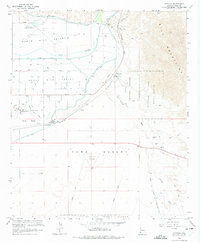
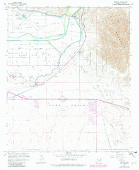
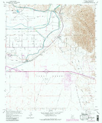
4 editions found
Other maps of this area

1903 · Yuma
USGS Topo · 1:125,000

1905 · Yuma
USGS Topo · 1:125,000

1926 · Fortuna
USGS Topo · 1:62,500

1929 · Fortuna
USGS Topo · 1:62,500

1929 · Laguna
USGS Topo · 1:62,500

1940 · Yuma
USGS Topo · 1:62,500

1942 · Yuma
USGS Topo · 1:250,000

1943 · Laguna
USGS Topo · 1:62,500

1945 · Picacho Peak
USGS Topo · 1:62,500

1945 · Yuma
USGS Topo · 1:62,500