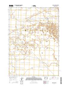
2014 Map of Fossil Lake
USGS Topo · Published 2014About this map
Christmas Lake Valley defines the southern portion of this high desert landscape, an area characterized by its wide-open basin topography and sparse rural infrastructure. The map centers on the namesake Fossil Lake, a significant geological and paleontological site within Lake County. The grid-like road network, featuring routes such as Five Acre Rd and Sams Way Ln, reflects the mid-20th-century history of the area's development and irrigation-based agriculture. To the north, the transition toward the dunes and timber of the high desert is marked by Lost Forest Ln, which borders a unique botanical pocket in this arid environment. The vast sections of public and private land, including those within t26s r19e and t27s r19e, illustrate the modern surveying of Oregon's interior basin.
Find a feature on this map
11 named features on this map. Tap any name to fly to it.
Don’t see what you’re looking for? This feature index may not catch every label — zoom into the map to look around manually.
Map Details
Editions of this 2014 Fossil Lake Map
This is the sole edition of this map. No revisions or reprints were ever made.
Other maps of this area

1955 · Crescent
USGS Topo · 1:250,000

1957 · Crescent
USGS Topo · 1:250,000

1958 · Crescent
USGS Topo · 1:250,000

1970 · Crescent
USGS Topo · 1:250,000

1981 · Fossil Lake
USGS Topo · 1:24,000

1981 · Sand Rock
USGS Topo · 1:24,000

1981 · Moonlight Butte
USGS Topo · 1:24,000

1981 · Mean Rock Well
USGS Topo · 1:24,000

1982 · Peters Creek Sink
USGS Topo · 1:24,000

1982 · Christmas Lake
USGS Topo · 1:24,000