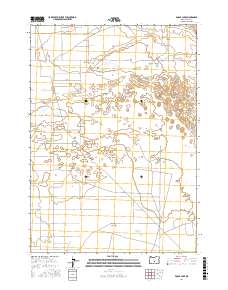
2017 Map of Fossil Lake
USGS Topo · Published 2017About this map
Christmas Lake Valley defines the arid character of this Lake County landscape, where ancient geological features and modern land divisions meet. The map centers on the depression of Fossil Lake, a significant site for Pleistocene-era paleontological finds, though it appears here as part of a contemporary basin drainage system. The surveying of township and range lines, such as t26s r19e and t26s r20e, illustrates the systematic grid of the American West superimposed over the natural terrain. A network of rural and resource roads, including Lost Forest Ln and BLM Rd 6151, provides access to the interior of the valley. Local agricultural and residential development is evidenced by named corridors like Oster Farm Rd and Ruppel Rd, which cut across the high desert floor.
Find a feature on this map
15 named features on this map. Tap any name to fly to it.
Don’t see what you’re looking for? This feature index may not catch every label — zoom into the map to look around manually.
Map Details
Editions of this 2017 Fossil Lake Map
This is the sole edition of this map. No revisions or reprints were ever made.
Other maps of this area

1955 · Crescent
USGS Topo · 1:250,000

1957 · Crescent
USGS Topo · 1:250,000

1958 · Crescent
USGS Topo · 1:250,000

1970 · Crescent
USGS Topo · 1:250,000

1981 · Fossil Lake
USGS Topo · 1:24,000

1981 · Sand Rock
USGS Topo · 1:24,000

1981 · Moonlight Butte
USGS Topo · 1:24,000

1981 · Mean Rock Well
USGS Topo · 1:24,000

1982 · Peters Creek Sink
USGS Topo · 1:24,000

1982 · Christmas Lake
USGS Topo · 1:24,000