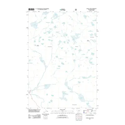
2011 Map of Fossil Lake
USGS Topo · Published 2011About this map
Big Moose Resort sits near the southwestern edge of this high-elevation landscape, where the Beartooth Plateau's complex alpine hydrology is on full display. The area is defined by a dense concentration of glacial lakes, many with descriptive or whimsical names like No Bones Lake, Pneumonia Lake, and Fizzle Lake. These water bodies are surrounded by prominent peaks including Mount Dewey and Mount Rosebud to the east, and Oxide Mountain near the center. The map reveals a land characterized by sheer granite features like Rock Island Butte and the vast waters of Upper Aero Lake. This 2011 survey serves as a detailed record of the drainage patterns and peaks in this remote mountain environment, where naming conventions often reflect the challenges of early exploration and survey work.
Find a feature on this map
81 named features on this map. Tap any name to fly to it.
Don’t see what you’re looking for? This feature index may not catch every label — zoom into the map to look around manually.
Map Details
Editions of this 2011 Fossil Lake Map
This is the sole edition of this map. No revisions or reprints were ever made.
Other maps of this area

1896 · Crandall Creek
USGS Topo · 1:125,000

1898 · Granite Mountain District
USGS Topo · 1:125,000

1899 · Crandall
USGS Topo · 1:125,000

1954 · Billings
USGS Topo · 1:250,000

1955 · Cody
USGS Topo · 1:250,000

1956 · Alpine
USGS Topo · 1:62,500

1956 · Beartooth Butte
USGS Topo · 1:62,500

1956 · Cooke City
USGS Topo · 1:62,500

1956 · Pilot Peak
USGS Topo · 1:62,500

1957 · Billings
USGS Topo · 1:250,000