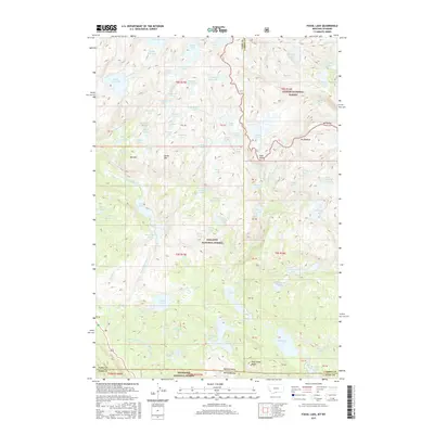
2017 Map of Fossil Lake
USGS Topo · Published 2017About this map
The intersection of the Custer National Forest, Gallatin National Forest, and Shoshone National Forest creates a high-altitude wilderness where the Montana-Wyoming border meets at the divide between Park and Carbon counties. This 2017 survey shows a landscape defined by an immense density of alpine water bodies, ranging from the large Upper Aero Lake and Lower Aero Lake in the west to the cluster of Sky Top Lakes and Fossil Lake in the north-central reach. Topographical landmarks like Mt Rosebud, Mt Dewey, and Oxide Mtn frame the basins. The map illustrates a complex drainage system where small lakes like Stepping Stone Lake, Looking Glass Lake, and Lake of the Winds are connected by unnamed creeks and steep elevation drops. The presence of numerous surveyed land blocks, such as PB 37 and PB 42, indicates the historical management of these forest lands.
Find a feature on this map
102 named features on this map. Tap any name to fly to it.
Don’t see what you’re looking for? This feature index may not catch every label — zoom into the map to look around manually.
Map Details
Editions of this 2017 Fossil Lake Map
This is the sole edition of this map. No revisions or reprints were ever made.
Other maps of this area

1896 · Crandall Creek
USGS Topo · 1:125,000

1898 · Granite Mountain District
USGS Topo · 1:125,000

1899 · Crandall
USGS Topo · 1:125,000

1954 · Billings
USGS Topo · 1:250,000

1955 · Cody
USGS Topo · 1:250,000

1956 · Alpine
USGS Topo · 1:62,500

1956 · Beartooth Butte
USGS Topo · 1:62,500

1956 · Cooke City
USGS Topo · 1:62,500

1956 · Pilot Peak
USGS Topo · 1:62,500

1957 · Billings
USGS Topo · 1:250,000