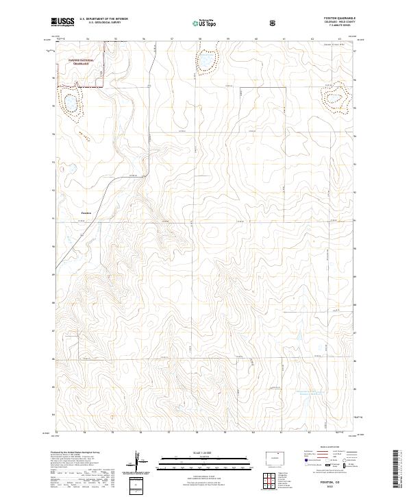
2022 Map of Fosston
USGS Topo · Published 2022About this map
Pawnee National Grassland dominates the northwest corner of this plains landscape, marking a protected expanse of shortgrass prairie. The small settlement of Fosston sits along Co RD 80 and Co RD 77, situated near the confluence of Sand Cr and Crow Cr. The terrain is defined by the intermittent drainage patterns of these creeks as they wind through sections of agricultural land and open range. To the north, Bidwell Lake and the prominent Seven Cross Hill provide local landmarks in an otherwise steady topography. Further south, the Klingenberg Flood Control Number 1 Reservoir along Co RD 83 illustrates modern water management efforts within the county's grid-based section lines. This 2022 survey captures the enduring rural character of Weld County, where isolated homesteads and reservoirs are connected by a vast network of county roads including Weld Co Rd 85 and Co RD 74.
Find a feature on this map
28 named features on this map. Tap any name to fly to it.
Don’t see what you’re looking for? This feature index may not catch every label — zoom into the map to look around manually.
Map Details
Editions of this 2022 Fosston Map
This is the sole edition of this map. No revisions or reprints were ever made.
Other maps of this area

1950 · Greasewood Lake
USGS Topo · 1:24,000

1950 · Barnesville
USGS Topo · 1:24,000

1951 · Point Of Rocks
USGS Topo · 1:24,000

1954 · Greeley
USGS Topo · 1:250,000

1957 · Greeley
USGS Topo · 1:250,000

1958 · Greeley
USGS Topo · 1:250,000

1961 · Greeley
USGS Topo · 1:250,000

1964 · Greeley
USGS Topo · 1:250,000

1965 · Greeley
USGS Topo · 1:250,000

1972 · Dutch Girl Lake
USGS Topo · 1:24,000