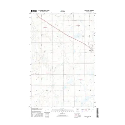
2016 Map of Fosston West
USGS Topo · Published 2016About this map
The Sand Hill River and its numerous glacial wetlands define the landscape west of Fosston, Polk County. This 2016 survey illustrates the persistent agricultural and township grid of northwestern Minnesota, where local history is anchored by the Landsverk Cem and Hansville Cem. The terrain is marked by a high density of small water bodies, including Strand Lake, Ouff Lake, and Newton Lake, which break up the geometric pattern of county roads and section lines. The Poplar River cuts across the northern reaches, while the Fosston Municipal Airport serves as a modern local landmark on the edge of the prairie. The map provides a detailed view of the rural infrastructure, capturing the layout of the many farm-to-market routes like Co HWY 31 and 380th ST Se that have facilitated the region's wheat and sugar beet economy for generations.
Find a feature on this map
30 named features on this map. Tap any name to fly to it.
Don’t see what you’re looking for? This feature index may not catch every label — zoom into the map to look around manually.
Map Details
Editions of this 2016 Fosston West Map
This is the sole edition of this map. No revisions or reprints were ever made.
Other maps of this area

1919 · Fosston
USGS Topo · 1:62,500

1954 · Bemidji
USGS Topo · 1:250,000

1957 · Bemidji
USGS Topo · 1:250,000

1958 · Bemidji
USGS Topo · 1:250,000

1969 · Olga
USGS Topo · 1:24,000

1969 · Mc Intosh NE
USGS Topo · 1:24,000

1969 · Fosston East
USGS Topo · 1:24,000
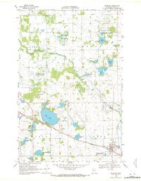
1969 · Mc Intosh
USGS Topo · 1:24,000

1969 · Fosston West
USGS Topo · 1:24,000
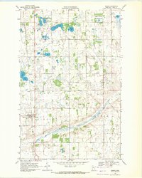
1969 · Winger
USGS Topo · 1:24,000