2021 Map of Foster
USGS Topo · Published 2021About this map
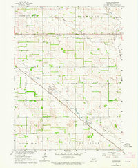
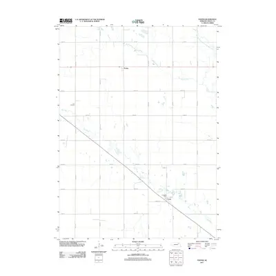
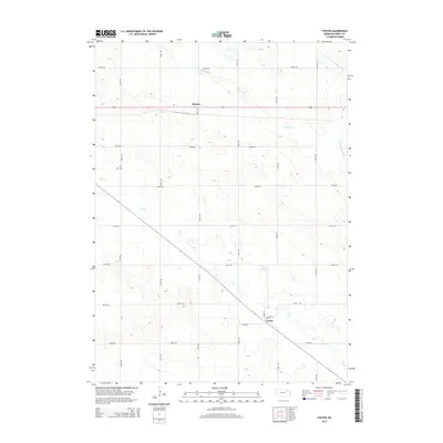
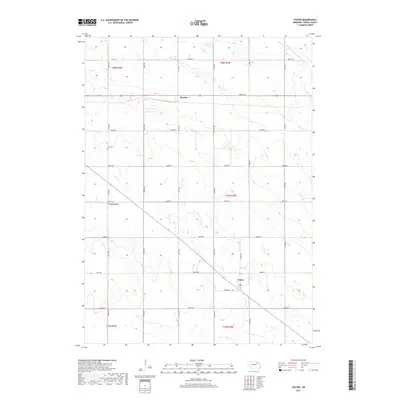
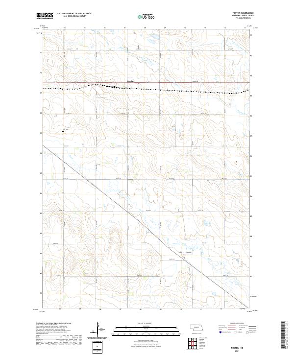
The settlement of Foster serves as a primary reference point in this Pierce County landscape, situated along a diagonal transit corridor that cuts through the grid of agricultural section lines. This rural expanse is defined by the headwaters and drainages of the W Br N Fork Elkhorn River, which flows through the northeastern corner. The topography is marked by the seasonal drainage of Dry Cr and the waters of Breslau Cr near the community of Breslau. For those researching local family history, Zion Cem is a significant landmark located in the northwestern portion of the quadrangle. The map illustrates a highly organized township system, where county roads like 864th Rd and 542nd Ave create a consistent framework for the scattered farmsteads and agricultural operations characteristic of this part of Nebraska.
Find a feature on this map
27 named features on this map. Tap any name to fly to it.
Don’t see what you’re looking for? This feature index may not catch every label — zoom into the map to look around manually.
Map Details
Editions of this 2021 Foster Map
This is the sole edition of this map. No revisions or reprints were ever made.
Historical Maps of Foster Through Time
5 maps found