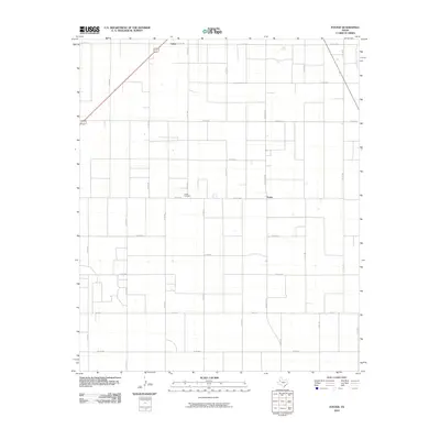
2010 Map of Foster
USGS Topo · Published 2010About this map
Foster and the surrounding plains of Terry County appear as a structured network of agricultural parcels and section-line roads in this 2010 survey. The settlement of Lahey marks the northern edge of the map, connected by a diagonal corridor that cuts across the rigid cardinal grid common to the High Plains. This landscape is defined by the proximity of small agricultural hubs and the logistical arteries that serve them, such as Ranch Rd 403 and Fm 213 E. Local family history is centered at the Foster Cemetery, located just west of the townsite along Co Rd 620. The map illustrates the 21st-century persistence of these rural communities, where the layout of roads like Co Rd 480 and Co Rd 365 continues to reflect the original land surveys of the Texas Panhandle region.
Find a feature on this map
28 named features on this map. Tap any name to fly to it.
Don’t see what you’re looking for? This feature index may not catch every label — zoom into the map to look around manually.
Map Details
Editions of this 2010 Foster Map
This is the sole edition of this map. No revisions or reprints were ever made.
Other maps of this area

1954 · Hobbs
USGS Topo · 1:250,000

1954 · Brownfield
USGS Topo · 1:250,000

1958 · Brownfield
USGS Topo · 1:250,000

1958 · Hobbs
USGS Topo · 1:250,000

1962 · Brownfield
USGS Topo · 1:250,000

1969 · Brownfield East
USGS Topo · 1:24,000

1969 · Gomez
USGS Topo · 1:24,000

1969 · Foster
USGS Topo · 1:24,000

1969 · Loop
USGS Topo · 1:24,000

1969 · Ashmore
USGS Topo · 1:24,000