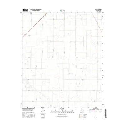
2016 Map of Foster
USGS Topo · Published 2016About this map
Foster occupies a central position on this Llano Estacado landscape, defined by a rigid grid of county roads and the seasonal hydrology of the High Plains. The small settlement is anchored by the Foster Cem, providing a focal point for genealogical research in this part of Terry County. The terrain is marked by numerous small depressions and the presence of Sulphur Springs Draw in the southern portion of the sheet. This drainage feature represents a significant geological break in an otherwise uniform agricultural expanse. Transportation through the area is facilitated by a network of local connectors such as Ranch Rd 403 and Fm 213 E, which serve the scattered farmsteads and agricultural operations characteristic of this region in the early 21st century.
Find a feature on this map
27 named features on this map. Tap any name to fly to it.
Don’t see what you’re looking for? This feature index may not catch every label — zoom into the map to look around manually.
Map Details
Editions of this 2016 Foster Map
This is the sole edition of this map. No revisions or reprints were ever made.
Other maps of this area

1954 · Hobbs
USGS Topo · 1:250,000

1954 · Brownfield
USGS Topo · 1:250,000

1958 · Brownfield
USGS Topo · 1:250,000

1958 · Hobbs
USGS Topo · 1:250,000

1962 · Brownfield
USGS Topo · 1:250,000

1969 · Brownfield East
USGS Topo · 1:24,000

1969 · Gomez
USGS Topo · 1:24,000

1969 · Foster
USGS Topo · 1:24,000

1969 · Loop
USGS Topo · 1:24,000

1969 · Ashmore
USGS Topo · 1:24,000