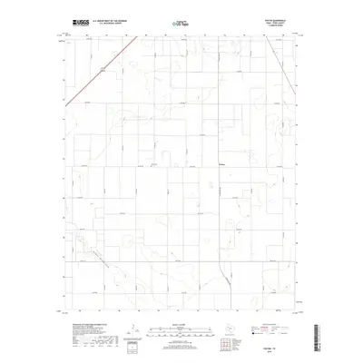
2019 Map of Foster
USGS Topo · Published 2019About this map
The small community of Foster and its nearby Foster Cem sit at the center of this Terry County landscape, defined by a rigid grid of county roads and the natural diagonal course of Sulphur Springs Draw. Located in the High Plains of West Texas, the area's development is structured by agricultural access, with long, straight routes like Co RD 620 and Co RD 600 carving the territory into large sections. The drainage of Sulphur Springs Draw provides the primary topographic variation in an otherwise uniform terrain, where the intersection of Ranch Rd 403 and various county lines marks the local social and economic hub. This 2019 survey captures the persistent rural character of the region, where family history is tied to the local cemetery and the network of farm-to-market roads that connect these isolated settlements.
Find a feature on this map
27 named features on this map. Tap any name to fly to it.
Don’t see what you’re looking for? This feature index may not catch every label — zoom into the map to look around manually.
Map Details
Editions of this 2019 Foster Map
This is the sole edition of this map. No revisions or reprints were ever made.
Other maps of this area

1954 · Hobbs
USGS Topo · 1:250,000

1954 · Brownfield
USGS Topo · 1:250,000

1958 · Brownfield
USGS Topo · 1:250,000

1958 · Hobbs
USGS Topo · 1:250,000

1962 · Brownfield
USGS Topo · 1:250,000

1969 · Brownfield East
USGS Topo · 1:24,000

1969 · Gomez
USGS Topo · 1:24,000

1969 · Foster
USGS Topo · 1:24,000

1969 · Loop
USGS Topo · 1:24,000

1969 · Ashmore
USGS Topo · 1:24,000