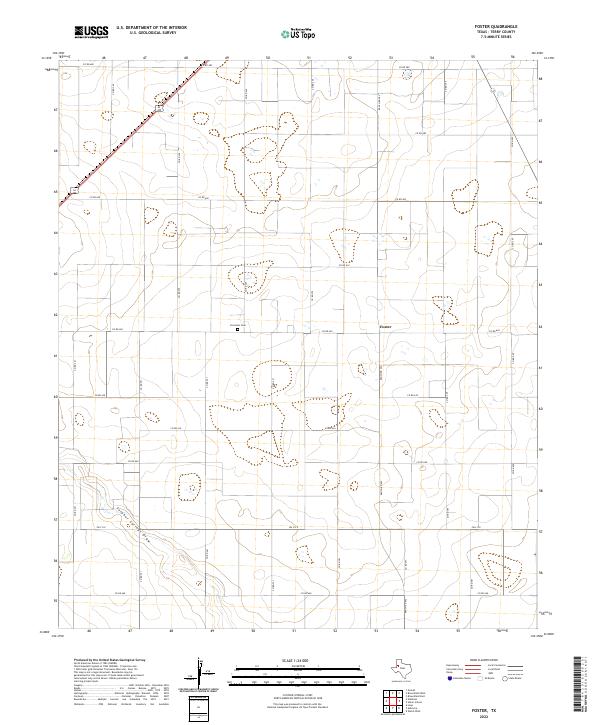
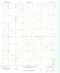
2022 Map of Foster
USGS Topo · Published 2022This historical map portrays the area of Foster in 2022, primarily covering Terry County. Featuring a scale of 1:24000, this map provides a highly detailed snapshot of the terrain, roads, buildings, counties, and historical landmarks in the Foster region at the time. Published in 2022, it is the sole known edition of this map.
Map Details
Editions of this 2022 Foster Map
This is the sole edition of this map. No revisions or reprints were ever made.
Historical Maps of Foster Through Time
21 maps found
1969 Brownfield East
Terry County, TX
1969 Brownfield West
Terry County, TX
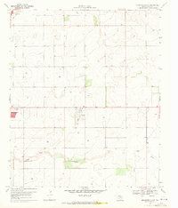
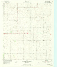
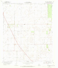
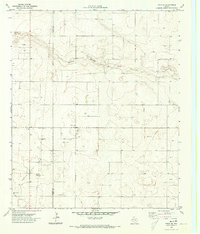
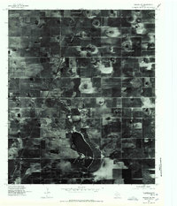
1969 Foster
Terry County, TX
1969 Gomez
Terry County, TX
1969 North of Tokio
Terry County, TX
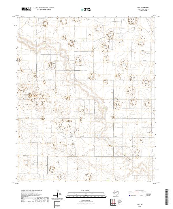
1969 Pool
Terry County, TX
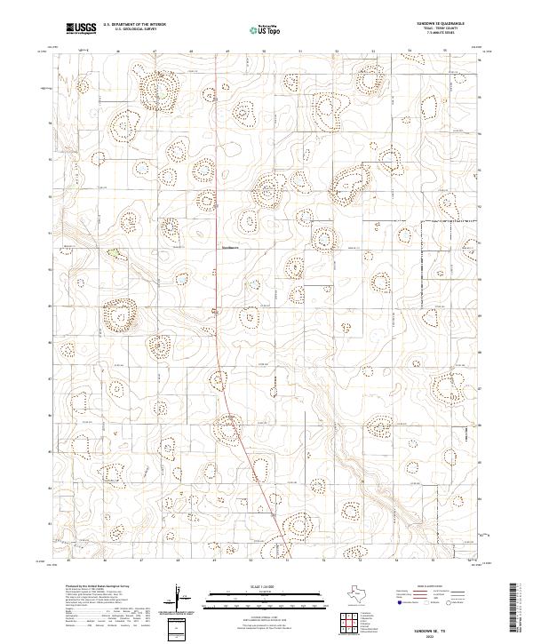
1969 Sundown SE
Terry County, TX
1969 Union School
Terry County, TX
1970 Tokio SE
Terry County, TX
1970 Tokio
Terry County, TX
1976 Meadow SW
Terry County, TX
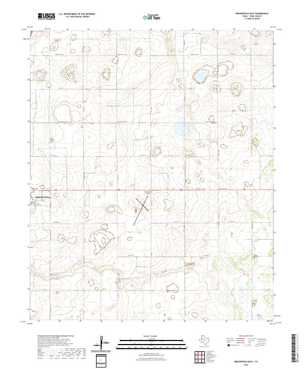
2022 Brownfield East
Terry County, TX
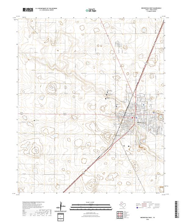
2022 Brownfield West
Terry County, TX
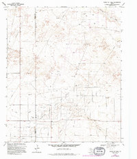
2022 Foster
Terry County, TX
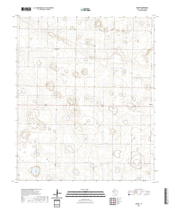
2022 Gomez
Terry County, TX
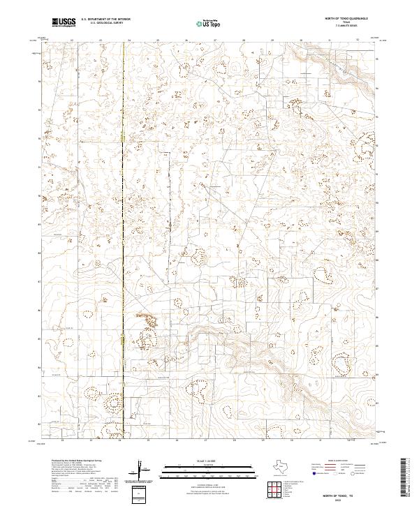
2022 North of Tokio
Terry County, TX
2022 Pool
Terry County, TX
2022 Sundown SE
Terry County, TX
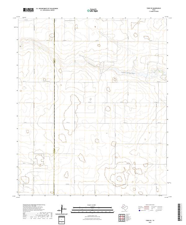
2022 Tokio SE
Terry County, TX
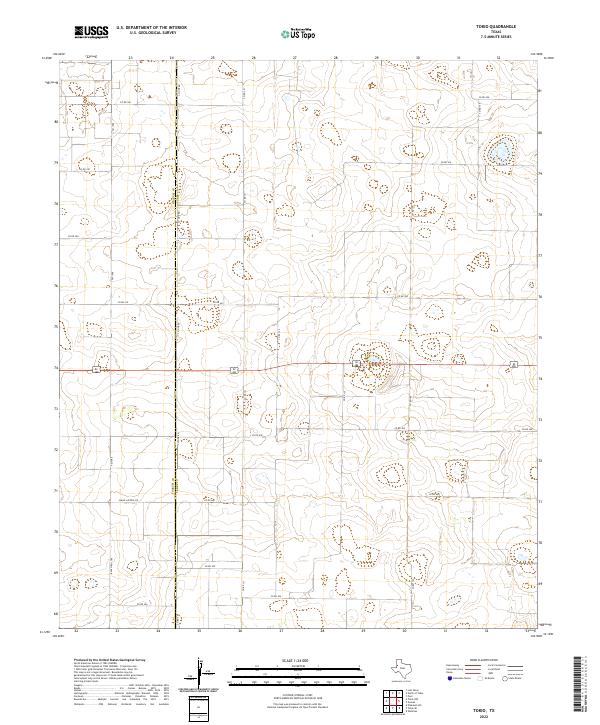
2022 Tokio
Terry County, TX
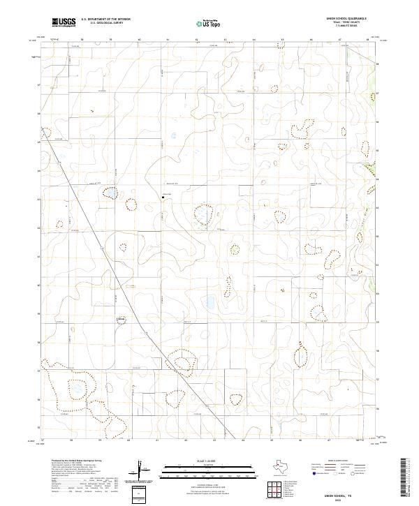
2022 Union School
Terry County, TX