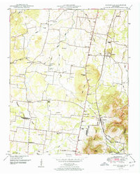
1951 Map of Fosterville
USGS Topo · Published 1951About this map
The Tennessee Valley Divide snakes through this rural landscape south of Murfreesboro, where the headwaters of the Stones River West Fork and Dry Fork begin their descent. Small agrarian communities are anchored by a dense network of family cemeteries and country churches, such as the Alexander Cem and Camp Ground Church. The Nashville Chattanooga and St Louis railroad serves as the primary corridor for commerce, linking the settlements of Christiana and Fosterville. The topography is defined by the prominent Nebo Knobs and several named high points like Hickory Hill and Soapstone Hill, which overlook a patchwork of small schools and local landmarks including Midland Sch and Guy Gap Sch. This mid-century survey illustrates a traditional Tennessee valley economy before modern suburban expansion reached these outlying Rutherford and Bedford county districts.
Find a feature on this map
50 named features on this map. Tap any name to fly to it.
Don’t see what you’re looking for? This feature index may not catch every label — zoom into the map to look around manually.
Map Details
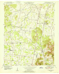
Editions of this 1951 Fosterville Map
2 editions found
Other maps of this area

1916 · Murfreesboro
USGS Topo · 1:62,500

1936 · Webbs Jungle
USGS Topo · 1:24,000

1936 · Rover
USGS Topo · 1:24,000

1936 · Deason
USGS Topo · 1:24,000

1936 · Wartrace
USGS Topo · 1:24,000

1936 · Unionville
USGS Topo · 1:24,000

1936 · Fosterville
USGS Topo · 1:24,000

1942 · Lebanon
USGS Topo · 1:100,000

1944 · Shelbyville
USGS Topo · 1:100,000
1947 · Unionville
USGS Topo · 1:24,000