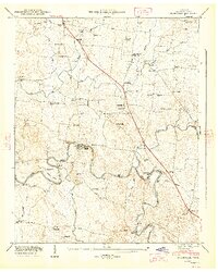
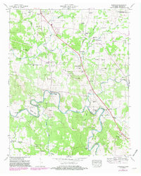
1947 Map of Unionville
USGS Topo · Published 1948About this map
Unionville and the winding course of the Duck River define the character of this Bedford County landscape in the late 1940s. The map illustrates a rural society organized around its waters and roads, where the river's path is marked by distinctive features like Shearin Bend and Tarpley Bluff. Local industry and connectivity are evident at Halls Mill and Anchor Mill, while numerous river crossings such as Britton Ford and Warner Bridge show how residents navigated the terrain.
Find a feature on this map
68 named features on this map. Tap any name to fly to it.
Don’t see what you’re looking for? This feature index may not catch every label — zoom into the map to look around manually.
Map Details
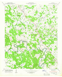
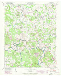
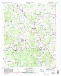
Editions of this 1947 Unionville Map
5 editions found
Other maps of this area

1936 · Chapel Hill
USGS Topo · 1:24,000

1936 · Farmington
USGS Topo · 1:24,000

1936 · Shelbyville
USGS Topo · 1:24,000

1936 · Rover
USGS Topo · 1:24,000

1936 · Belfast
USGS Topo · 1:24,000

1936 · Deason
USGS Topo · 1:24,000

1936 · Unionville
USGS Topo · 1:24,000

1936 · Bedford
USGS Topo · 1:24,000

1936 · Fosterville
USGS Topo · 1:24,000

1944 · Shelbyville
USGS Topo · 1:100,000