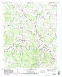
1947 Map of Unionville
USGS Topo · Published 1981About this map
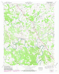
Unionville serves as the focal point for this rural landscape in Bedford County, where the topography is defined by the winding course of the Duck River and its major bends like Shearin Bend. The river valley supported a localized milling economy, evidenced by Halls Mill and Anchor Mill, while numerous family-named burial grounds like Winsett Cem, Landers Cem, and Presgrove Cem provide essential data for genealogists. The region's social structure is further mapped through a high density of small community churches such as Maxwell Chapel, Zion Hill Ch, and Lentz Chapel. Navigating the terrain relied on river crossings like Britton Ford and the thoroughfares of Versailles Pike and Warner Bridge Road, connecting small clusters of settlement like Poplins Crossroads and Elbethel across the rolling farmland and creek bottoms.
Find a feature on this map
63 named features on this map. Tap any name to fly to it.
Don’t see what you’re looking for? This feature index may not catch every label — zoom into the map to look around manually.
Map Details
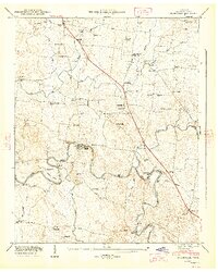
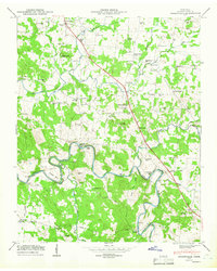
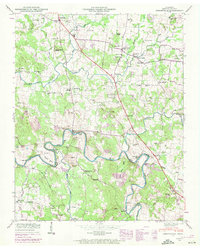
Editions of this 1947 Unionville Map
5 editions found
Other maps of this area

1936 · Chapel Hill
USGS Topo · 1:24,000

1936 · Farmington
USGS Topo · 1:24,000

1936 · Shelbyville
USGS Topo · 1:24,000

1936 · Rover
USGS Topo · 1:24,000

1936 · Belfast
USGS Topo · 1:24,000

1936 · Deason
USGS Topo · 1:24,000

1936 · Unionville
USGS Topo · 1:24,000

1936 · Bedford
USGS Topo · 1:24,000

1936 · Fosterville
USGS Topo · 1:24,000

1944 · Shelbyville
USGS Topo · 1:100,000