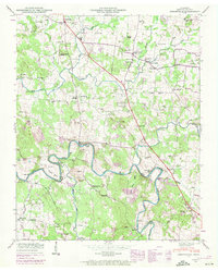
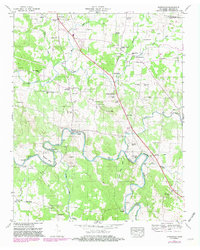
1947 Map of Unionville
USGS Topo · Published 1972About this map
The Duck River winds through the southern landscape of this mid-century survey, defining the terrain with sharp meanders like Shearin Bend and the prominent heights of Tarpley Bluff. This area of Bedford County is characterized by a dense network of rural infrastructure, where local life centered around the Unionville School and numerous country congregations such as Bethlehem Ch and Lentz Chapel. The presence of Halls Mill and Anchor Mill along the river and its tributaries points to a longstanding reliance on water power and milling within the local economy.
Find a feature on this map
69 named features on this map. Tap any name to fly to it.
Don’t see what you’re looking for? This feature index may not catch every label — zoom into the map to look around manually.
Map Details
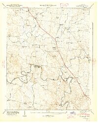
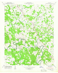
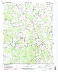
Editions of this 1947 Unionville Map
5 editions found
Other maps of this area

1936 · Chapel Hill
USGS Topo · 1:24,000

1936 · Farmington
USGS Topo · 1:24,000

1936 · Shelbyville
USGS Topo · 1:24,000

1936 · Rover
USGS Topo · 1:24,000

1936 · Belfast
USGS Topo · 1:24,000

1936 · Deason
USGS Topo · 1:24,000

1936 · Unionville
USGS Topo · 1:24,000

1936 · Bedford
USGS Topo · 1:24,000

1936 · Fosterville
USGS Topo · 1:24,000

1944 · Shelbyville
USGS Topo · 1:100,000