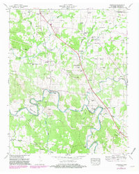
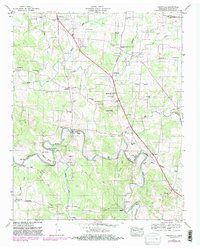
1947 Map of Unionville
USGS Topo · Published 1981About this map
Unionville and its surrounding Bedford County hamlets are documented here during a period of transition in Middle Tennessee. The landscape is defined by the winding course of the Duck River, featuring significant riverine landmarks such as Shearin Bend, Tarpley Bluff, and the crossing at Warner Bridge. Small rural centers like Poplins Crossroads and Halls Mill anchor the local community, which is deeply rooted in its churches and cemeteries. Numerous family burial grounds and congregations, including Maxwell Chapel, Lentz Chapel, and Zion Hill Ch, are scattered across the terrain. The presence of Anchor Mill on the river and the convergence of old routes like Versailles Pike and Fishing Ford Road suggest a traditional agrarian economy maintained well into the mid-20th century, before more modern infrastructure began to reshape these valley settlements.
Find a feature on this map
59 named features on this map. Tap any name to fly to it.
Don’t see what you’re looking for? This feature index may not catch every label — zoom into the map to look around manually.
Map Details
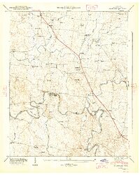
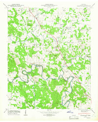
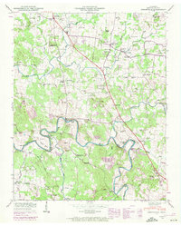
Editions of this 1947 Unionville Map
5 editions found
Other maps of this area

1936 · Chapel Hill
USGS Topo · 1:24,000

1936 · Farmington
USGS Topo · 1:24,000

1936 · Shelbyville
USGS Topo · 1:24,000

1936 · Rover
USGS Topo · 1:24,000

1936 · Belfast
USGS Topo · 1:24,000

1936 · Deason
USGS Topo · 1:24,000

1936 · Unionville
USGS Topo · 1:24,000

1936 · Bedford
USGS Topo · 1:24,000

1936 · Fosterville
USGS Topo · 1:24,000

1944 · Shelbyville
USGS Topo · 1:100,000