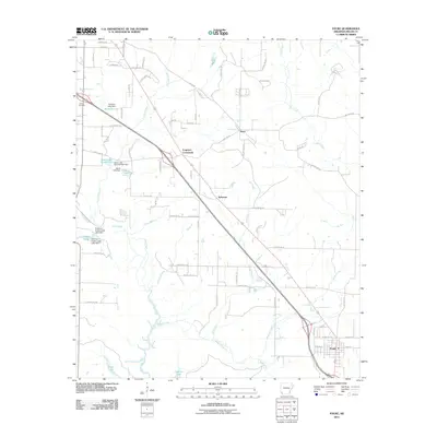
2011 Map of Fouke
USGS Topo · Published 2011About this map
Fouke anchors the southern portion of this Miller County landscape, where the local road network and small settlements reflect the transition from early rural junctions to modern corridors. Significant intersections like Ferguson Crossroads and small communities such as Sylverino and Boyd are situated amidst a complex drainage system characterized by Fourmile Creek and Dry Creek. The area is notably shaped by water management, with numerous small impoundments and structures such as the Paradise Lake Dam and Robinson Estate Upper Lake Dam altering the natural flow of local branches. Genealogists and local historians will find the location of Gibson Cemetery near the western edge particularly useful for anchoring family histories within this agricultural and wooded terrain. The map also traces the winding paths of Days Creek and Boggy Creek, which define the low-lying areas between established homesteads and timber tracts.
Find a feature on this map
62 named features on this map. Tap any name to fly to it.
Don’t see what you’re looking for? This feature index may not catch every label — zoom into the map to look around manually.
Map Details
Editions of this 2011 Fouke Map
This is the sole edition of this map. No revisions or reprints were ever made.
Other maps of this area

1907 · Atlanta
USGS Topo · 1:62,500

1909 · Texarkana
USGS Topo · 1:62,500

1910 · Atlanta
USGS Topo · 1:62,500

1952 · Mandeville
USGS Topo · 1:24,000

1952 · Doddridge NW
USGS Topo · 1:24,000

1952 · Fouke SE
USGS Topo · 1:24,000

1952 · Doddridge NE
USGS Topo · 1:24,000

1952 · Fouke
USGS Topo · 1:24,000

1952 · Fouke NE
USGS Topo · 1:24,000

1953 · Texarkana
USGS Topo · 1:250,000