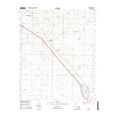
2014 Map of Fouke
USGS Topo · Published 2014About this map
Texarkana and Fouke anchor this Miller County landscape, where the corridor of Us 71 and the modern alignment of 549 cut through a low-lying terrain defined by complex creek networks. The map shows a transition from the suburban fringe of the city to the smaller outlying communities of Boyd, Ferguson Crossroads, and Sylverino. This era reflects the modern transportation patterns that bridge the gap between regional commerce and the rural wetlands of southern Arkansas.
Find a feature on this map
124 named features on this map. Tap any name to fly to it.
Don’t see what you’re looking for? This feature index may not catch every label — zoom into the map to look around manually.
Map Details
Editions of this 2014 Fouke Map
This is the sole edition of this map. No revisions or reprints were ever made.
Other maps of this area

1907 · Atlanta
USGS Topo · 1:62,500

1909 · Texarkana
USGS Topo · 1:62,500

1910 · Atlanta
USGS Topo · 1:62,500

1952 · Mandeville
USGS Topo · 1:24,000

1952 · Doddridge NW
USGS Topo · 1:24,000

1952 · Fouke SE
USGS Topo · 1:24,000

1952 · Doddridge NE
USGS Topo · 1:24,000

1952 · Fouke
USGS Topo · 1:24,000

1952 · Fouke NE
USGS Topo · 1:24,000

1953 · Texarkana
USGS Topo · 1:250,000