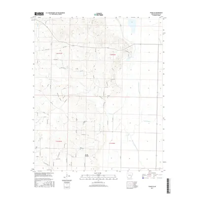
2017 Map of Fouke SE
USGS Topo · Published 2017About this map
Rocky Mound rises above the lowlands of southeastern Miller County, anchoring a landscape defined by the winding waterways of the Red River valley. The terrain is deeply marked by the intricate hydrology of the region, where the Old Channel McKinney Bayou and Moccasin Bayou cut through the eastern plains. These old channels and oxbow features like Hensley Lake and Fish Lake reflect a shifting river system that has shaped local land use for generations. Small settlements and family landmarks are scattered throughout the quadrangle, from Holly Springs in the north to the outskirts of Fouke in the southwest.
Find a feature on this map
67 named features on this map. Tap any name to fly to it.
Don’t see what you’re looking for? This feature index may not catch every label — zoom into the map to look around manually.
Map Details
Editions of this 2017 Fouke SE Map
This is the sole edition of this map. No revisions or reprints were ever made.
Other maps of this area

1952 · Mandeville
USGS Topo · 1:24,000

1952 · Garland
USGS Topo · 1:24,000

1952 · Doddridge NW
USGS Topo · 1:24,000

1952 · Fouke SE
USGS Topo · 1:24,000

1952 · Doddridge NE
USGS Topo · 1:24,000

1952 · Fouke
USGS Topo · 1:24,000

1952 · Canfield
USGS Topo · 1:24,000

1952 · Fouke NE
USGS Topo · 1:24,000

1952 · Boyd Hill
USGS Topo · 1:24,000

1953 · El Dorado
USGS Topo · 1:250,000