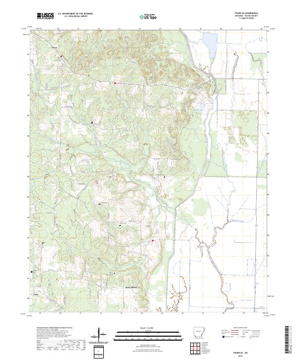
2024 Map of Fouke SE
USGS Topo · Published 2024About this map
McKinney Bayou and its winding Old Channel McKinney Bayou dominate this landscape southeast of Fouke, where the flat bottomlands meet the rising hills of Miller County. The map documents a dense network of local history, marked by numerous rural burial grounds such as the Macedonia Cem, Phylaw Cem, and the Central Church of Christ Cem near Genoa. These sites, along with the Rocky Mound Cem situated at the foot of the Rocky Mound elevation, provide significant reference points for family historians and genealogists.
Find a feature on this map
72 named features on this map. Tap any name to fly to it.
Don’t see what you’re looking for? This feature index may not catch every label — zoom into the map to look around manually.
Map Details
Editions of this 2024 Fouke SE Map
This is the sole edition of this map. No revisions or reprints were ever made.
Other maps of this area

1952 · Mandeville
USGS Topo · 1:24,000

1952 · Garland
USGS Topo · 1:24,000

1952 · Doddridge NW
USGS Topo · 1:24,000

1952 · Fouke SE
USGS Topo · 1:24,000

1952 · Doddridge NE
USGS Topo · 1:24,000

1952 · Fouke
USGS Topo · 1:24,000

1952 · Canfield
USGS Topo · 1:24,000

1952 · Fouke NE
USGS Topo · 1:24,000

1952 · Boyd Hill
USGS Topo · 1:24,000

1953 · El Dorado
USGS Topo · 1:250,000