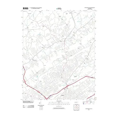
2010 Map of Fountain City
USGS Topo · Published 2010About this map
The settlement of Halls and the developed neighborhoods of north Knoxville anchor this landscape at the end of the first decade of the 21st century. The area is defined by a series of northeast-trending ridges and valleys, including Sharp Ridge and Grassy Valley, which have historically dictated the flow of transport and urban expansion. A dense concentration of burial sites, such as the Greenfield Memorial Cemetery and the Anderson-Gouffon Cemetery, provides a rich record of long-standing local families. The hydrology of the region is equally complex, featuring numerous named springs like Blue Spring and Hunter Spring that feed into Beaver Creek and Whites Creek. These water sources and topographical breaks, such as Dry Gap and Crippen Gap, continue to shape the residential and commercial corridors connecting the northern suburbs to the heart of the city.
Find a feature on this map
119 named features on this map. Tap any name to fly to it.
Don’t see what you’re looking for? This feature index may not catch every label — zoom into the map to look around manually.
Map Details
Editions of this 2010 Fountain City Map
This is the sole edition of this map. No revisions or reprints were ever made.
Other maps of this area

1886 · Knoxville
USGS Topo · 1:125,000

1892 · Knoxville
USGS Topo · 1:125,000

1893 · Briceville
USGS Topo · 1:125,000

1894 · Knoxville
USGS Topo · 1:125,000

1895 · Loudon
USGS Topo · 1:125,000

1895 · Briceville
USGS Topo · 1:125,000

1895 · Knoxville
USGS Topo · 1:125,000

1896 · Briceville
USGS Topo · 1:125,000

1897 · Maynardville
USGS Topo · 1:125,000

1900 · Maynardville
USGS Topo · 1:125,000