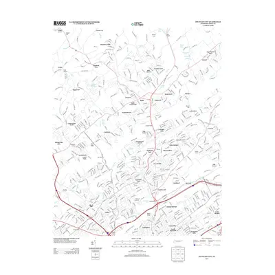
2013 Map of Fountain City
USGS Topo · Published 2013About this map
Fountain City serves as the focal point of this Knoxville-area survey, surrounded by established neighborhoods and commercial centers like Halls Crossroads and Inskip. The landscape is defined by the northeast-to-southwest orientation of Sharp Ridge and Copper Ridge, which channel the drainage of local waterways such as Willow Fork and Beaver Cr. This pattern of ridges and valleys has historically dictated the suburban development of areas like Whittle Springs and North Knoxville, where residential subdivisions are closely woven into the terrain.
Find a feature on this map
525 named features on this map. Tap any name to fly to it.
Don’t see what you’re looking for? This feature index may not catch every label — zoom into the map to look around manually.
Map Details
Editions of this 2013 Fountain City Map
This is the sole edition of this map. No revisions or reprints were ever made.
Other maps of this area

1886 · Knoxville
USGS Topo · 1:125,000

1892 · Knoxville
USGS Topo · 1:125,000

1893 · Briceville
USGS Topo · 1:125,000

1894 · Knoxville
USGS Topo · 1:125,000

1895 · Loudon
USGS Topo · 1:125,000

1895 · Briceville
USGS Topo · 1:125,000

1895 · Knoxville
USGS Topo · 1:125,000

1896 · Briceville
USGS Topo · 1:125,000

1897 · Maynardville
USGS Topo · 1:125,000

1900 · Maynardville
USGS Topo · 1:125,000