Loading...
Loading map...2022 Map of Fountain
USGS Topo · Published 2022About this map
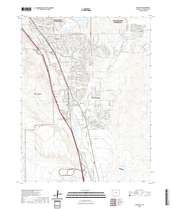
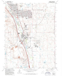
Fountain and the surrounding El Paso County communities are shown here at a moment of significant suburban expansion south of Colorado Springs. The landscape is defined by the drainage of Fountain Creek, where the BNSF Railway and Interstate 25 parallel the water through a valley marked by agricultural remnants like the Chilcotte Canal Number 27 and Fountain Ditch.
Find a feature on this map
184 named features on this map. Tap any name to fly to it.
Don’t see what you’re looking for? This feature index may not catch every label — zoom into the map to look around manually.
Map Details
Date Portrayed2022
Date Published2022
PublisherU.S. Geological Survey
Map TypeTopographic
Scale1:24000
Physical Dimensions24 x 29 inches
Editions of this 2022 Fountain Map
This is the sole edition of this map. No revisions or reprints were ever made.
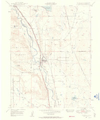
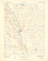
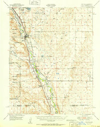
Historical Maps of Fort Carson Through Time
5 maps found
Featured Locations
Source Details
SourceU.S. Geological Survey
CopyrightPublic Domain