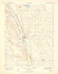
1950 Map of Fountain
USGS Topo · Published 1950About this map
The town of Fountain serves as the central hub of this 1950 survey, positioned where the high plains meet the intricate irrigation systems of the Fountain Creek valley. The landscape is defined by a dense network of water management, including the Chilcott Canal, Clover Ditch, and Chandler Canal, which supported the region's agricultural transition. To the west, the Camp Carson Military Reservation boundary indicates the growing federal presence in El Paso County during the early Cold War era.
Find a feature on this map
29 named features on this map. Tap any name to fly to it.
Don’t see what you’re looking for? This feature index may not catch every label — zoom into the map to look around manually.
Map Details
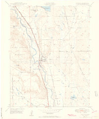
Editions of this 1950 Fountain Map
2 editions found
Other maps of this area

1893 · Colorado Springs
USGS Topo · 1:125,000

1909 · Colorado Springs
USGS Topo · 1:125,000

1942 · Colorado Springs
USGS Topo · 1:125,000

1948 · Timber Mountain
USGS Topo · 1:24,000

1948 · Fountain SE
USGS Topo · 1:24,000

1948 · Colorado Springs
USGS Topo · 1:62,500

1948 · Fountain
USGS Topo · 1:24,000

1948 · Colorado Springs
USGS Topo · 1:24,000

1948 · Cheyenne Mountain
USGS Topo · 1:24,000

1948 · Falcon
USGS Topo · 1:62,500