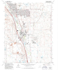
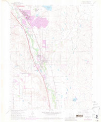
1961 Map of Fountain
USGS Topo · Published 1994About this map
Fountain and the adjacent communities of Security and Widefield anchor this 1994 revision, which reflects the significant suburban development and industrial infrastructure in El Paso County during the late 20th century. The landscape is defined by the convergence of Fountain Creek and Jimmy Camp Creek, with numerous Gravel Pits and a large Power Plant illustrating the area's utility-driven growth. To the west, the Fort Carson Military Reservation marks a substantial land use boundary, while the expansion of local education is evident in the presence of schools like Martin Luther King Jr Sch and Aragon Middle Sch. This map serves as a record of transition from agricultural and gravel-resource land to a denser residential corridor, complete with civic spaces like Widefield Regional Park and John Metcalf Memorial Park.
Find a feature on this map
36 named features on this map. Tap any name to fly to it.
Don’t see what you’re looking for? This feature index may not catch every label — zoom into the map to look around manually.
Map Details
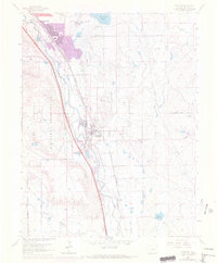
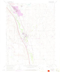
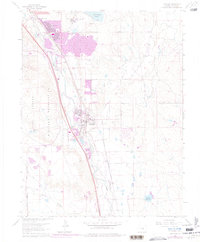
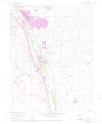
Editions of this 1961 Fountain Map
9 editions found
Other maps of this area

1893 · Colorado Springs
USGS Topo · 1:125,000

1909 · Colorado Springs
USGS Topo · 1:125,000

1942 · Colorado Springs
USGS Topo · 1:125,000

1948 · Timber Mountain
USGS Topo · 1:24,000

1948 · Fountain SE
USGS Topo · 1:24,000

1948 · Colorado Springs
USGS Topo · 1:62,500

1948 · Fountain
USGS Topo · 1:24,000

1948 · Colorado Springs
USGS Topo · 1:24,000

1948 · Cheyenne Mountain
USGS Topo · 1:24,000

1948 · Falcon
USGS Topo · 1:62,500