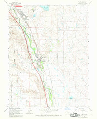
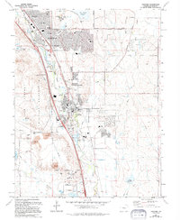
1961 Map of Fountain
USGS Topo · Published 1969About this map
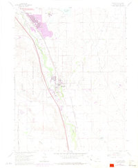
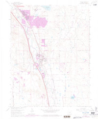
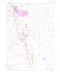
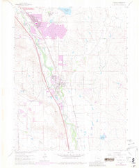
The growing community of Security and the established town of Fountain anchor this early 1960s study of the Colorado landscape south of Colorado Springs. The map reveals a transition from concentrated residential areas like Widefield to the expansive ranching and military lands of the Fort Carson Military Reservation. A complex network of irrigation infrastructure, including the Clover Ditch, Chansler Canal No 30, and Chilcotte Canal No 27, traces the reliance on Fountain Creek for regional water management. Transportation is a central theme, with the combined tracks of the Atchison Topeka and Santa Fe and Denver and Rio Grande Western railroads following the river valley alongside the emerging Pikes Peak Airport. Local landmarks such as the South Security Sch and a local Cem near the river highlight the civic development occurring during this period.
Find a feature on this map
30 named features on this map. Tap any name to fly to it.
Don’t see what you’re looking for? This feature index may not catch every label — zoom into the map to look around manually.
Map Details
Editions of this 1961 Fountain Map
9 editions found
Other maps of this area

1893 · Colorado Springs
USGS Topo · 1:125,000

1909 · Colorado Springs
USGS Topo · 1:125,000

1942 · Colorado Springs
USGS Topo · 1:125,000

1948 · Timber Mountain
USGS Topo · 1:24,000

1948 · Fountain SE
USGS Topo · 1:24,000

1948 · Colorado Springs
USGS Topo · 1:62,500

1948 · Fountain
USGS Topo · 1:24,000

1948 · Colorado Springs
USGS Topo · 1:24,000

1948 · Cheyenne Mountain
USGS Topo · 1:24,000

1948 · Falcon
USGS Topo · 1:62,500