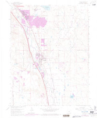
1961 Map of Fountain
USGS Topo · Published 1978About this map
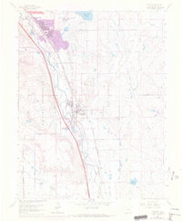
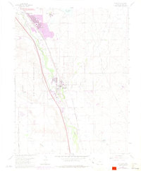
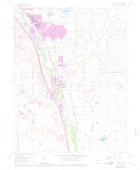
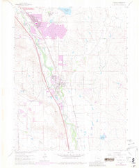
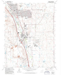
The Fort Carson Military Reservation dominates the western edge of this landscape, where the high plains meet the base of the mountains. This 1961 survey, updated with purple revisions through 1976, documents the rapid expansion of suburban residential clusters like Security, Widefield, and South Security Sch south of the metropolitan hub. The agricultural and industrial legacy of the region is visible through the Chansler Canal No 30 and the Chilcotte Canal No 27, which draw from Fountain Creek to support the arid terrain. The map captures the convergence of the Atchison Topeka and Santa Fe RR and the Denver and Rio Grande Western RR corridors, which parallel the creek through the heart of Fountain. Between the growing settlements and the military lands, features like Big Johnson Reservoir and various gravel pits indicate the local resource management and water infrastructure required for this mid-century growth phase.
Find a feature on this map
24 named features on this map. Tap any name to fly to it.
Don’t see what you’re looking for? This feature index may not catch every label — zoom into the map to look around manually.
Map Details
Editions of this 1961 Fountain Map
9 editions found
Other maps of this area

1893 · Colorado Springs
USGS Topo · 1:125,000

1909 · Colorado Springs
USGS Topo · 1:125,000

1942 · Colorado Springs
USGS Topo · 1:125,000

1948 · Timber Mountain
USGS Topo · 1:24,000

1948 · Fountain SE
USGS Topo · 1:24,000

1948 · Colorado Springs
USGS Topo · 1:62,500

1948 · Fountain
USGS Topo · 1:24,000

1948 · Colorado Springs
USGS Topo · 1:24,000

1948 · Cheyenne Mountain
USGS Topo · 1:24,000

1948 · Falcon
USGS Topo · 1:62,500