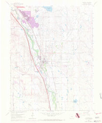
1961 Map of Fountain
USGS Topo · Published 1970About this map
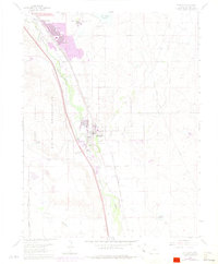
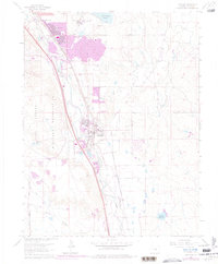
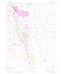
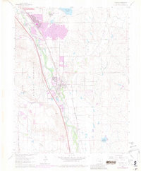
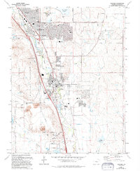
Fountain Creek serves as the primary geographic axis for this mid-century look at El Paso County, where agricultural infrastructure and modern suburban development begin to converge. The settlement of Security and the expanding residential area of Widefield sit near the northern boundary, while the city of Fountain anchors the central valley. This era is defined by a dense transportation corridor, with the Santa Fe and Denver and Rio Grande Western railroads running parallel to the creek.
Find a feature on this map
33 named features on this map. Tap any name to fly to it.
Don’t see what you’re looking for? This feature index may not catch every label — zoom into the map to look around manually.
Map Details
Editions of this 1961 Fountain Map
9 editions found
Other maps of this area

1893 · Colorado Springs
USGS Topo · 1:125,000

1909 · Colorado Springs
USGS Topo · 1:125,000

1942 · Colorado Springs
USGS Topo · 1:125,000

1948 · Timber Mountain
USGS Topo · 1:24,000

1948 · Fountain SE
USGS Topo · 1:24,000

1948 · Colorado Springs
USGS Topo · 1:62,500

1948 · Fountain
USGS Topo · 1:24,000

1948 · Colorado Springs
USGS Topo · 1:24,000

1948 · Cheyenne Mountain
USGS Topo · 1:24,000

1948 · Falcon
USGS Topo · 1:62,500