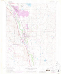
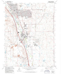
1961 Map of Fountain
USGS Topo · Published 1981About this map
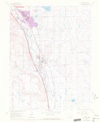
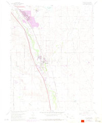
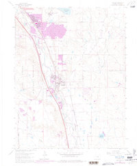
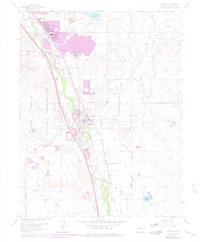
Fountain and the rapidly expanding suburbs of Security and Widefield sit at the intersection of critical rail and water infrastructure south of Colorado Springs. The landscape is defined by the parallel paths of the Atchison Topeka and Santa Fe RR and the Denver and Rio Grande Western RR, which trace the Fountain Creek valley. Irrigation networks like the Ghansler Canal No 30 and Chilcotte Canal No 27 illustrate the region's agricultural management, while the massive Fort Carson Military Reservation dominates the western horizon. Mid-century cultural markers, such as a Drive-in Theater and South Security Sch, reveal the post-war residential growth occurring alongside the established rail sidings at Crews.
Find a feature on this map
31 named features on this map. Tap any name to fly to it.
Don’t see what you’re looking for? This feature index may not catch every label — zoom into the map to look around manually.
Map Details
Editions of this 1961 Fountain Map
9 editions found
Other maps of this area

1893 · Colorado Springs
USGS Topo · 1:125,000

1909 · Colorado Springs
USGS Topo · 1:125,000

1942 · Colorado Springs
USGS Topo · 1:125,000

1948 · Timber Mountain
USGS Topo · 1:24,000

1948 · Fountain SE
USGS Topo · 1:24,000

1948 · Colorado Springs
USGS Topo · 1:62,500

1948 · Fountain
USGS Topo · 1:24,000

1948 · Colorado Springs
USGS Topo · 1:24,000

1948 · Cheyenne Mountain
USGS Topo · 1:24,000

1948 · Falcon
USGS Topo · 1:62,500