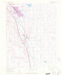
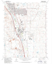
1961 Map of Fountain
USGS Topo · Published 1970About this map
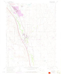
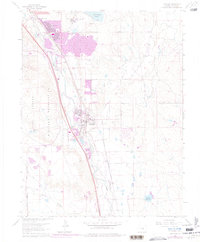
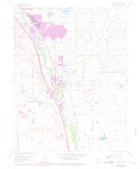
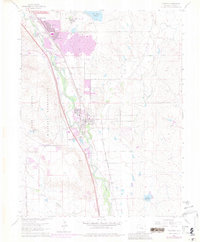
The sprawling mid-century residential expansion of the Colorado Springs area is evident in this landscape, dominated by the rapid growth of Security and Widefield. These suburban developments contrast with the established rural center of Fountain, which is anchored by the dual railroad corridor of the Atchison Topeka and Santa Fe and Denver and Rio Grande Western. To the west, the extensive boundary of the Fort Carson Military Reservation marks the edge of this urban-rural transition.
Find a feature on this map
27 named features on this map. Tap any name to fly to it.
Don’t see what you’re looking for? This feature index may not catch every label — zoom into the map to look around manually.
Map Details
Editions of this 1961 Fountain Map
9 editions found
Other maps of this area

1893 · Colorado Springs
USGS Topo · 1:125,000

1909 · Colorado Springs
USGS Topo · 1:125,000

1942 · Colorado Springs
USGS Topo · 1:125,000

1948 · Timber Mountain
USGS Topo · 1:24,000

1948 · Fountain SE
USGS Topo · 1:24,000

1948 · Colorado Springs
USGS Topo · 1:62,500

1948 · Fountain
USGS Topo · 1:24,000

1948 · Colorado Springs
USGS Topo · 1:24,000

1948 · Cheyenne Mountain
USGS Topo · 1:24,000

1948 · Falcon
USGS Topo · 1:62,500