
1952 Map of Fountain Hill
USGS Topo · Published 1976About this map
Fountain Hill serves as the central hub of this South Arkansas landscape, situated along the county line between Drew and Ashley counties. The town is surrounded by a high density of small family and community burial grounds, including Kirkpatrick Cem, Flat Creek Cem, and Norris Hill Cem, which provide significant genealogical touchstones for the region. An Old Railroad Grade cuts a long diagonal path through the terrain, marking the former infrastructure of the local timber or transit economy. The land is defined by a network of winding waterways such as Flat Creek, Fountain Creek, and the uniquely named Chemin-A-Haut Creek to the east. Numerous Gravel Pits dot the area, particularly near the Roadside Park, suggesting active local industry at the time of the survey. The presence of Shiloh Ch and Spring Hill Cem further illustrates the established rural community structure typical of this era.
Find a feature on this map
21 named features on this map. Tap any name to fly to it.
Don’t see what you’re looking for? This feature index may not catch every label — zoom into the map to look around manually.
Map Details
Editions of this 1952 Fountain Hill Map
This is the sole edition of this map. No revisions or reprints were ever made.
Other maps of this area

1935 · Mist
USGS Topo · 1:62,500

1935 · Wilmot
USGS Topo · 1:62,500

1953 · Greenwood
USGS Topo · 1:250,000

1956 · Greenwood
USGS Topo · 1:250,000

1960 · Mist
USGS Topo · 1:62,500

1960 · Wilmot
USGS Topo · 1:62,500

1960 · Wilmot NW
USGS Topo · 1:24,000
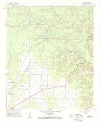
1960 · Mist
USGS Topo · 1:24,000
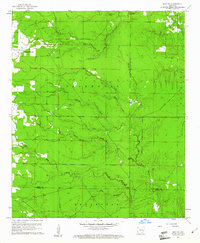
1960 · Mist NW
USGS Topo · 1:24,000
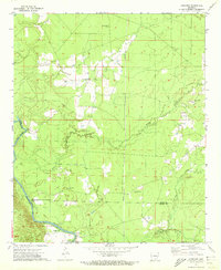
1971 · Longview
USGS Topo · 1:24,000