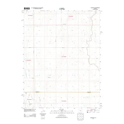
2013 Map of Fountain SE
USGS Topo · Published 2013About this map
Hammer Ranch and Williams Ranch sit at the center of this high-plains landscape, where the agricultural economy relies on a network of canals and creeks south of Colorado Springs. The map documents the border between El Paso and Pueblo counties, a region defined by scattered homesteads and significant water engineering projects. Irrigation is vital here, evidenced by the Hanover Ditch Number 1 following the curves of Chico Cr and the Jackson and Burke Ditch running parallel to Fountain Creek. These waterways dictate the placement of ranch houses and the grid of section roads like Hanover Rd and S Meridian Rd. Further south, the Totten Ranch near Totten Rd illustrates the continued use of family-named land holdings in this arid prairie environment.
Find a feature on this map
27 named features on this map. Tap any name to fly to it.
Don’t see what you’re looking for? This feature index may not catch every label — zoom into the map to look around manually.
Map Details
Editions of this 2013 Fountain SE Map
This is the sole edition of this map. No revisions or reprints were ever made.
Other maps of this area

1891 · Pueblo
USGS Topo · 1:125,000

1891 · Nepesta
USGS Topo · 1:125,000

1893 · Nepesta
USGS Topo · 1:125,000

1893 · Big Springs
USGS Topo · 1:125,000

1893 · Colorado Springs
USGS Topo · 1:125,000

1894 · Pueblo
USGS Topo · 1:125,000

1896 · Pueblo
USGS Topo · 1:125,000

1897 · Pueblo
USGS Topo · 1:125,000

1904 · Nepesta
USGS Topo · 1:125,000

1909 · Colorado Springs
USGS Topo · 1:125,000