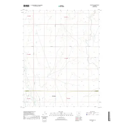
2019 Map of Fountain SE
USGS Topo · Published 2019About this map
The El Paso Co Pueblo Co border defines the lower third of this region, marking a transition between the northern high plains and the drainage systems feeding into the Arkansas River valley. The landscape is characterized by intermittent watercourses and early irrigation infrastructure, most notably Hanover Ditch Number 1 and the Jackson and Burke Ditch. These man-made channels reflect the historical necessity of water management in this arid part of Colorado. A sparse grid of rural thoroughfares, including Hanover Rd and S Meridian Rd, provides access across the townships. Drainage is dominated by the winding paths of Fountain Creek and Chico Cr, which carve subtle topography through the open terrain as they flow toward the southern county line.
Find a feature on this map
21 named features on this map. Tap any name to fly to it.
Don’t see what you’re looking for? This feature index may not catch every label — zoom into the map to look around manually.
Map Details
Editions of this 2019 Fountain SE Map
This is the sole edition of this map. No revisions or reprints were ever made.
Other maps of this area

1891 · Pueblo
USGS Topo · 1:125,000

1891 · Nepesta
USGS Topo · 1:125,000

1893 · Nepesta
USGS Topo · 1:125,000

1893 · Big Springs
USGS Topo · 1:125,000

1893 · Colorado Springs
USGS Topo · 1:125,000

1894 · Pueblo
USGS Topo · 1:125,000

1896 · Pueblo
USGS Topo · 1:125,000

1897 · Pueblo
USGS Topo · 1:125,000

1904 · Nepesta
USGS Topo · 1:125,000

1909 · Colorado Springs
USGS Topo · 1:125,000