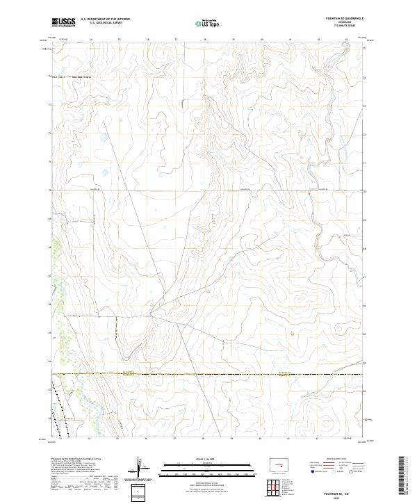
2022 Map of Fountain SE
USGS Topo · Published 2022About this map
Fountain Creek meanders through the southwestern corner of this Colorado landscape, where the boundary between El Paso Co and Pueblo Co cuts across a high-desert terrain marked by significant water management systems. The mapping reveals a network of essential irrigation infrastructure including the Hanover Ditch Number 1 and the Jackson and Burke Ditch, which parallel the major watercourses to support local agriculture. The terrain is defined by dry creek beds such as Chico Cr and Williams Cr that snake through the sectioned township lines. A grid of rural routes like Hanover Rd and S Meridian Rd provide access to this open country, illustrating the persistent importance of water rights and land management in the region's development.
Find a feature on this map
21 named features on this map. Tap any name to fly to it.
Don’t see what you’re looking for? This feature index may not catch every label — zoom into the map to look around manually.
Map Details
Editions of this 2022 Fountain SE Map
This is the sole edition of this map. No revisions or reprints were ever made.
Other maps of this area

1891 · Pueblo
USGS Topo · 1:125,000

1891 · Nepesta
USGS Topo · 1:125,000

1893 · Nepesta
USGS Topo · 1:125,000

1893 · Big Springs
USGS Topo · 1:125,000

1893 · Colorado Springs
USGS Topo · 1:125,000

1894 · Pueblo
USGS Topo · 1:125,000

1896 · Pueblo
USGS Topo · 1:125,000

1897 · Pueblo
USGS Topo · 1:125,000

1904 · Nepesta
USGS Topo · 1:125,000

1909 · Colorado Springs
USGS Topo · 1:125,000