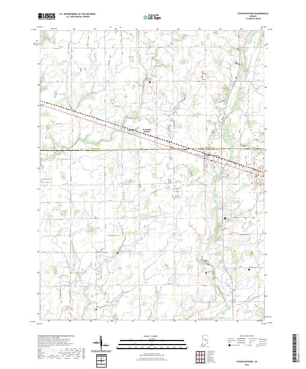
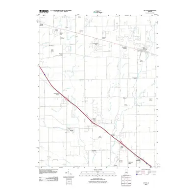
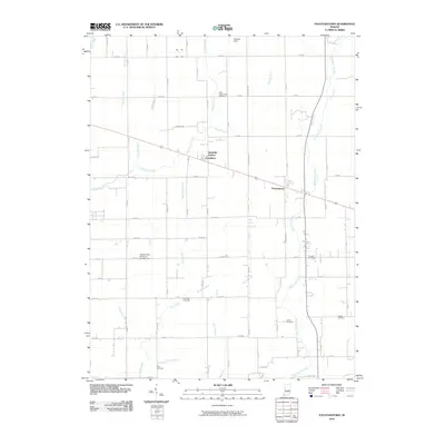
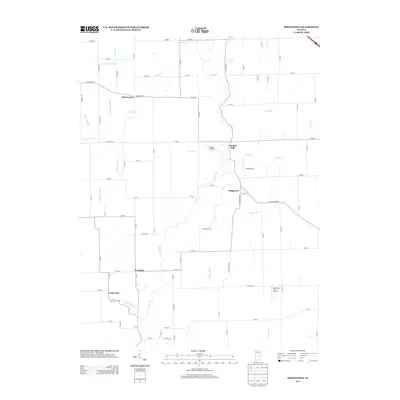
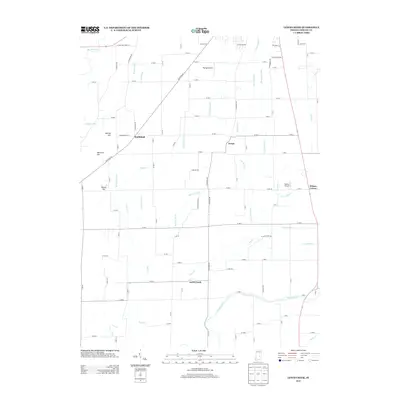
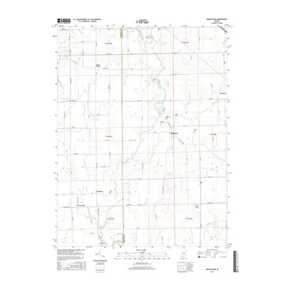
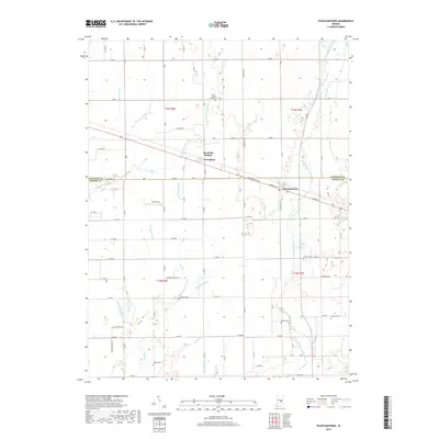
2022 Map of Fountaintown
USGS Topo · Published 2022About this map
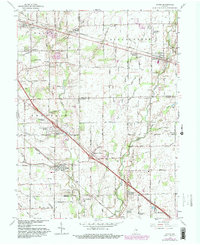
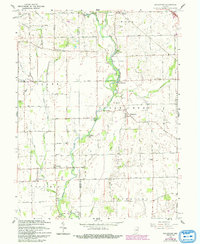
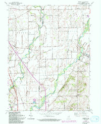
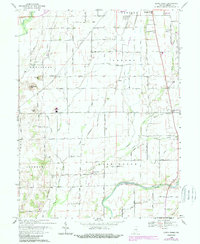
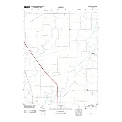
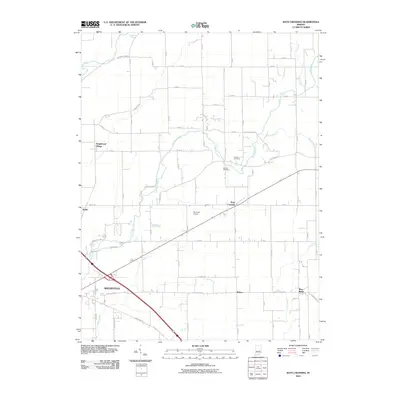
Carrollton and Reedville Station sit along the dividing line between Hancock and Shelby counties, surrounded by a landscape engineered for drainage and agriculture. The terrain is defined by a dense network of man-made waterways including Snodgrass Ditch, MacDougall Ditch, and Thompson Ditch, which redirect water toward larger natural courses like Brandywine Creek and Little Sugar Creek. This intricate system reflects the long-term transformation of Central Indiana prairie and wetlands into productive farmland.
Find a feature on this map
61 named features on this map. Tap any name to fly to it.
Don’t see what you’re looking for? This feature index may not catch every label — zoom into the map to look around manually.
Map Details
Editions of this 2022 Fountaintown Map
This is the sole edition of this map. No revisions or reprints were ever made.
Historical Maps of Reedville Station Through Time
41 maps found
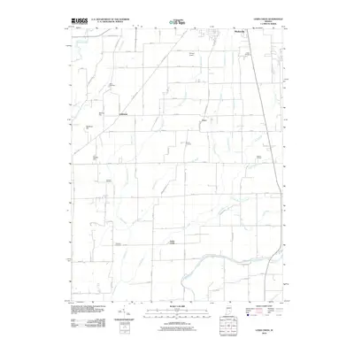
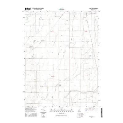
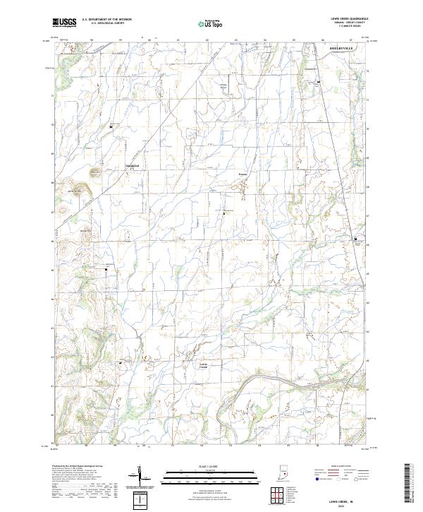
1948 Lewis Creek
Shelby County, IN
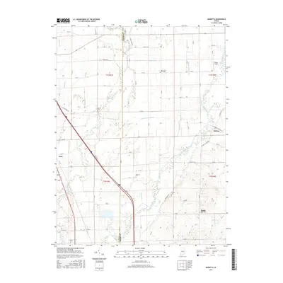
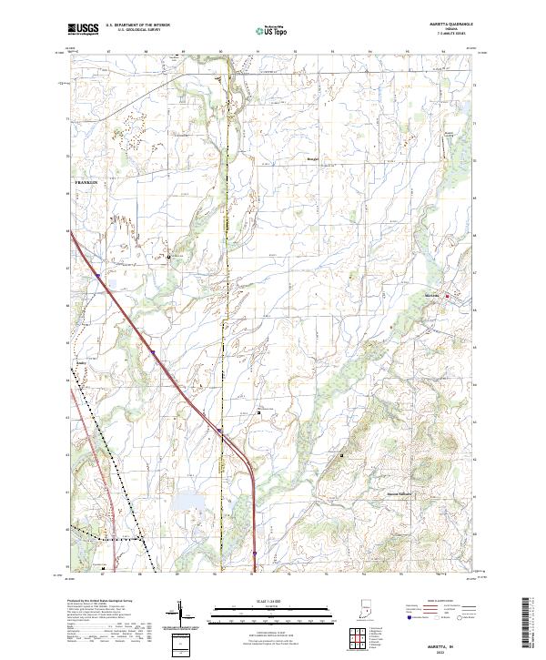
1948 Marietta
Shelby County, IN

1950 Edinburg
Shelby County, IN
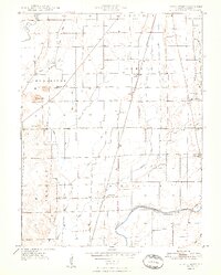
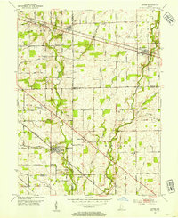
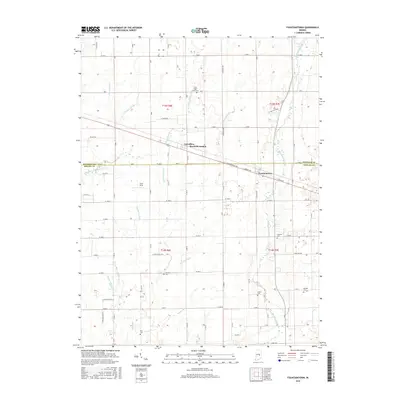
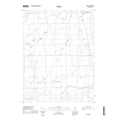
1952 Fountaintown
Shelby County, IN
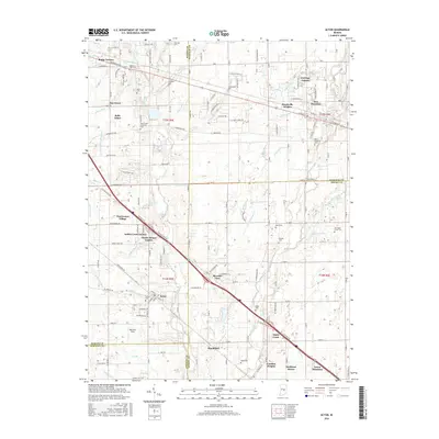
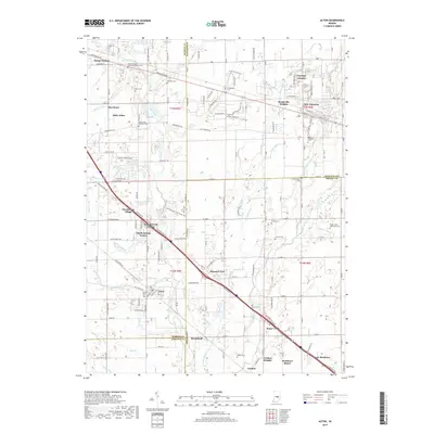
1953 Acton
Shelby County, IN
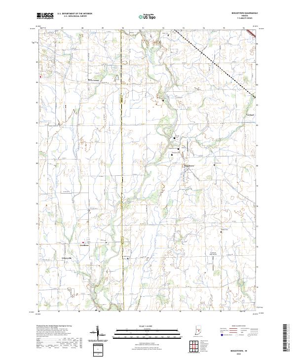
1953 Boggstown
Shelby County, IN
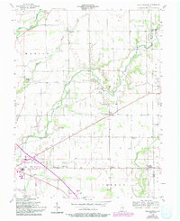
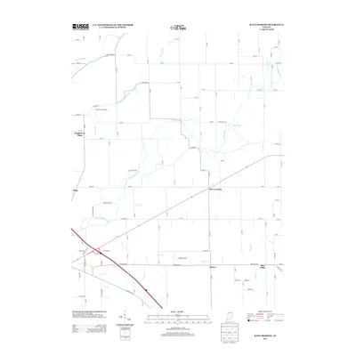
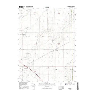
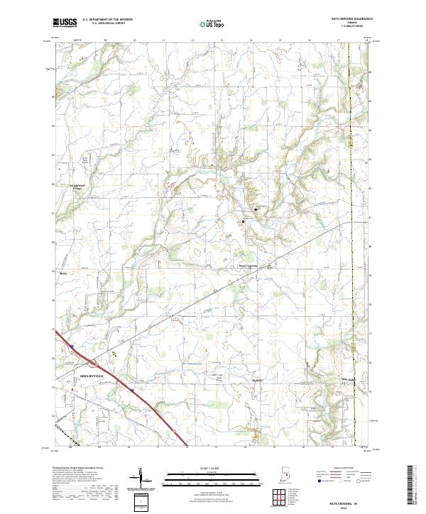
1956 Rays Crossing
Shelby County, IN
1962 Acton
Shelby County, IN
1962 Boggstown
Shelby County, IN
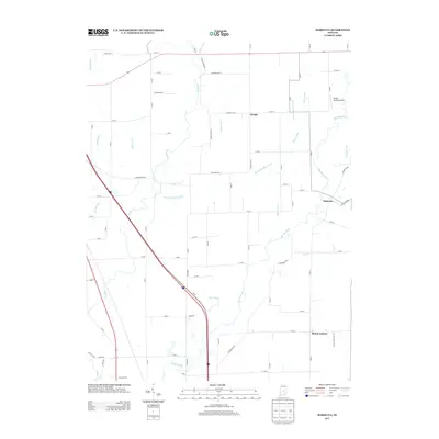
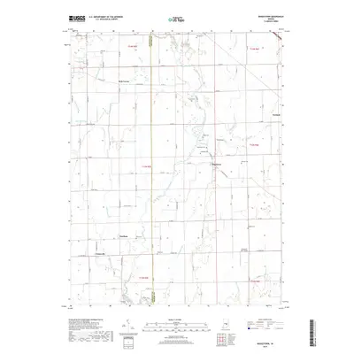
1962 Marietta
Shelby County, IN
1968 Lewis Creek
Shelby County, IN
2010 Acton
Shelby County, IN
2010 Boggstown
Shelby County, IN
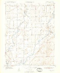
2010 Fountaintown
Shelby County, IN
2010 Lewis Creek
Shelby County, IN
2010 Marietta
Shelby County, IN
2010 Rays Crossing
Shelby County, IN
2013 Acton
Shelby County, IN
2013 Boggstown
Shelby County, IN
2013 Fountaintown
Shelby County, IN
2013 Lewis Creek
Shelby County, IN
2013 Marietta
Shelby County, IN
2013 Rays Crossing
Shelby County, IN
2016 Acton
Shelby County, IN
2016 Boggstown
Shelby County, IN
2016 Fountaintown
Shelby County, IN
2016 Lewis Creek
Shelby County, IN
2016 Marietta
Shelby County, IN
2016 Rays Crossing
Shelby County, IN
2019 Acton
Shelby County, IN
2019 Boggstown
Shelby County, IN
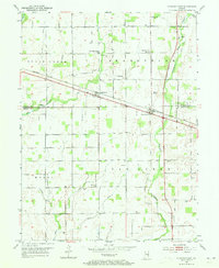
2019 Fountaintown
Shelby County, IN
2019 Lewis Creek
Shelby County, IN
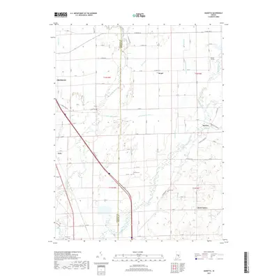
2019 Marietta
Shelby County, IN
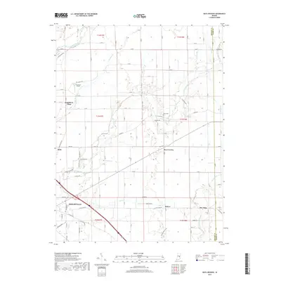
2019 Rays Crossing
Shelby County, IN
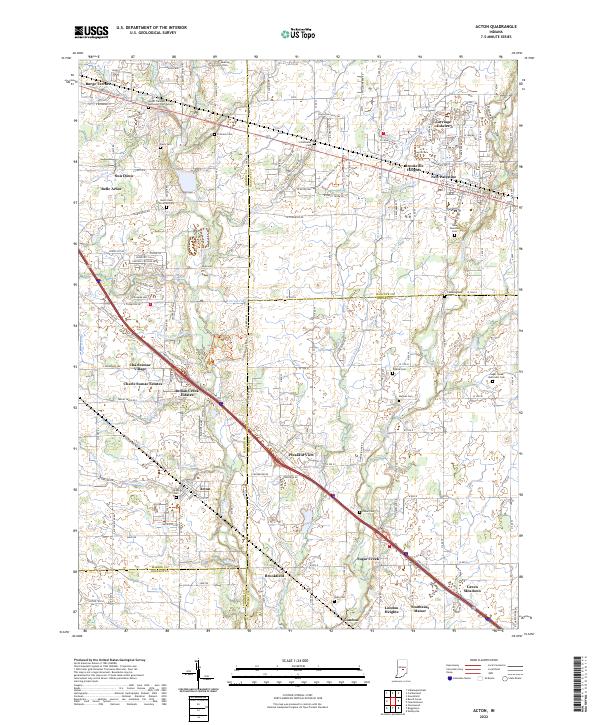
2022 Acton
Shelby County, IN
2022 Boggstown
Shelby County, IN
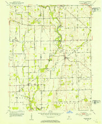
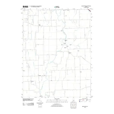
2022 Fountaintown
Shelby County, IN
2022 Lewis Creek
Shelby County, IN
2022 Marietta
Shelby County, IN
2022 Rays Crossing
Shelby County, IN