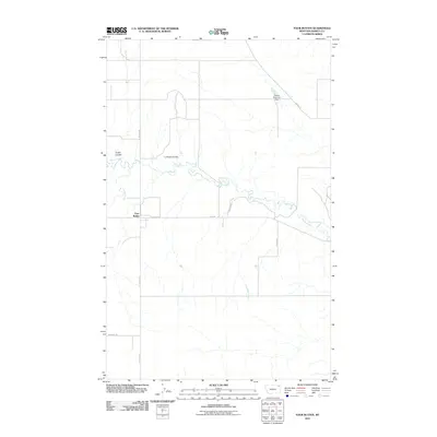
2011 Map of Four Buttes
USGS Topo · Published 2011About this map
Four Buttes serves as the central point in this prairie landscape of northeastern Montana, where the grid of rural roads meets the winding drainage of Butte Creek. The terrain is defined by its coulees, such as Audet Coulee and La Pierre Coulee, which channel seasonal water toward the larger creek system. These natural features, alongside Spring Creek and Lost Child Creek, dictate the movement of ranching life across the plains of Daniels County.
Find a feature on this map
13 named features on this map. Tap any name to fly to it.
Don’t see what you’re looking for? This feature index may not catch every label — zoom into the map to look around manually.
Map Details
Editions of this 2011 Four Buttes Map
This is the sole edition of this map. No revisions or reprints were ever made.
Other maps of this area

1954 · Wolf Point
USGS Topo · 1:250,000

1958 · Wolf Point
USGS Topo · 1:250,000

1973 · Peerless 4 NE
USGS Topo · 1:24,000

1973 · Scobey
USGS Topo · 1:24,000

1973 · Scobey NW
USGS Topo · 1:24,000

1973 · Killenbeck Reservoir
USGS Topo · 1:24,000

1973 · Cabarett Coulee
USGS Topo · 1:24,000

1973 · Four Buttes NE
USGS Topo · 1:24,000

1973 · Four Buttes
USGS Topo · 1:24,000

1973 · Four Buttes NW
USGS Topo · 1:24,000