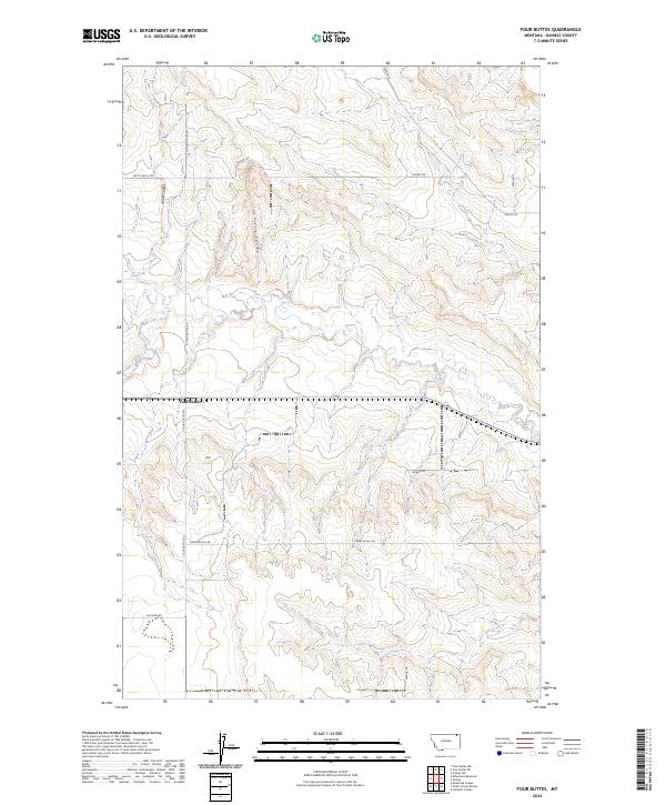
2024 Map of Four Buttes
USGS Topo · Published 2024About this map
Four Buttes sits at a geographic crossroads in Daniels County, where the high plains are carved by the drainage patterns of Audet Coulee and La Pierre Coulee. This landscape is defined by its sectional organization and a network of rural roads that often follow property boundaries or the winding courses of water bodies like Spring Creek and Butte Creek. The map documents the persistent agricultural grid of Northeastern Montana, where long-established family routes such as Chabot Rd, Timmons Hill Rd, and Levang Rd provide the primary infrastructure connecting isolated farmsteads and grazing lands. The terrain exhibits the characteristic elevation changes of the glaciated Missouri Plateau, marked by the distinctive coulees that provide vital drainage for the seasonal prairie waterways.
Find a feature on this map
16 named features on this map. Tap any name to fly to it.
Don’t see what you’re looking for? This feature index may not catch every label — zoom into the map to look around manually.
Map Details
Editions of this 2024 Four Buttes Map
This is the sole edition of this map. No revisions or reprints were ever made.
Other maps of this area

1954 · Wolf Point
USGS Topo · 1:250,000

1958 · Wolf Point
USGS Topo · 1:250,000

1973 · Peerless 4 NE
USGS Topo · 1:24,000

1973 · Scobey
USGS Topo · 1:24,000

1973 · Scobey NW
USGS Topo · 1:24,000

1973 · Killenbeck Reservoir
USGS Topo · 1:24,000

1973 · Cabarett Coulee
USGS Topo · 1:24,000

1973 · Four Buttes NE
USGS Topo · 1:24,000

1973 · Four Buttes
USGS Topo · 1:24,000

1973 · Four Buttes NW
USGS Topo · 1:24,000